Distance to Bantam, Ohio

Calculating Your Route
Just a moment while we process your request...
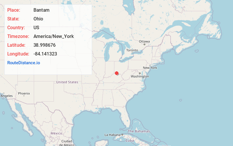
Location Information
-
Full AddressBantam, Tate Township, OH 45106
-
Coordinates38.9986757, -84.1413234
-
LocationTate Township , Ohio , US
-
TimezoneAmerica/New_York
-
Current Local Time3:05:16 PM America/New_YorkFriday, June 20, 2025
-
Page Views0
About Bantam
Bantam is an unincorporated community in Clermont County, Ohio, United States. It is the location of Bethel Methodist Church, which is listed on the National Register of Historic Places.
The community is located in northwest Tate Township along Old State Route 125 and South Bantam Road, 4.2 miles northwest of Bethel.
Nearby Places
Found 10 places within 50 miles

Bethel
4.1 mi
6.6 km
Bethel, OH 45106
Get directions

Amelia
4.6 mi
7.4 km
Amelia, OH
Get directions

Batavia
5.7 mi
9.2 km
Batavia, OH 45103
Get directions

Williamsburg
6.1 mi
9.8 km
Williamsburg, OH
Get directions
Withamsville
7.9 mi
12.7 km
Withamsville, OH
Get directions

New Richmond
8.3 mi
13.4 km
New Richmond, OH 45157
Get directions
Owensville
8.6 mi
13.8 km
Owensville, OH
Get directions

California
8.6 mi
13.8 km
California, KY 41007
Get directions
Andersonville
8.8 mi
14.2 km
Andersonville, OH 45176
Get directions
Mentor
9.5 mi
15.3 km
Mentor, KY 41007
Get directions
Location Links
Local Weather
Weather Information
Coming soon!
Location Map
Static map view of Bantam, Ohio
Browse Places by Distance
Places within specific distances from Bantam
Short Distances
Long Distances
Click any distance to see all places within that range from Bantam. Distances shown in miles (1 mile ≈ 1.61 kilometers).