Distance to Owensville, Ohio

Calculating Your Route
Just a moment while we process your request...
Location Information
-
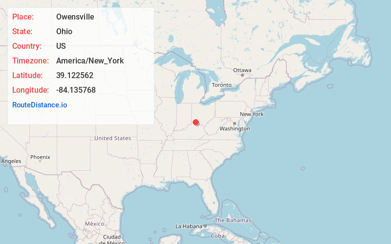
Full AddressOwensville, OH
-
Coordinates39.1225624, -84.1357677
-
LocationOwensville , Ohio , US
-
TimezoneAmerica/New_York
-
Current Local Time1:05:50 PM America/New_YorkSaturday, June 28, 2025
-
Page Views0
About Owensville
Owensville is a village in Clermont County, Ohio, United States. The population was 786 at the 2020 census.
Nearby Places
Found 10 places within 50 miles

Batavia
3.8 mi
6.1 km
Batavia, OH 45103
Get directions

Day Heights
6.0 mi
9.7 km
Day Heights, OH 45150
Get directions
Williamsburg
6.5 mi
10.5 km
Williamsburg, OH
Get directions
Mt Repose
7.2 mi
11.6 km
Mt Repose, OH 45150
Get directions
Mulberry
7.5 mi
12.1 km
Mulberry, OH 45150
Get directions

Amelia
7.9 mi
12.7 km
Amelia, OH
Get directions
Summerside
8.1 mi
13.0 km
Summerside, OH
Get directions
Withamsville
8.1 mi
13.0 km
Withamsville, OH
Get directions
Mt Carmel
9.1 mi
14.6 km
Mt Carmel, OH
Get directions

Milford
9.2 mi
14.8 km
Milford, OH
Get directions
Location Links
Local Weather
Weather Information
Coming soon!
Location Map
Static map view of Owensville, Ohio
Browse Places by Distance
Places within specific distances from Owensville
Short Distances
Long Distances
Click any distance to see all places within that range from Owensville. Distances shown in miles (1 mile ≈ 1.61 kilometers).