Distance to Mt Shasta, California

Calculating Your Route
Just a moment while we process your request...
Location Information
-
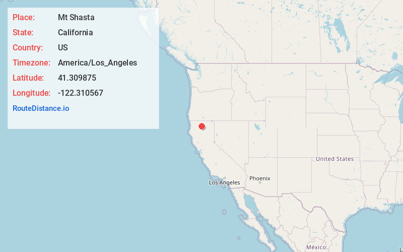
Full AddressMt Shasta, CA 96067
-
Coordinates41.3098746, -122.3105666
-
LocationMt Shasta , California , US
-
TimezoneAmerica/Los_Angeles
-
Current Local Time10:29:13 PM America/Los_AngelesThursday, June 19, 2025
-
Page Views0
About Mt Shasta
Mount Shasta is a city in Siskiyou County, California, United States, at about 3,600 feet above sea level on the flanks of Mount Shasta, a prominent northern California landmark. The city is less than 9 miles southwest of the summit of its namesake volcano.


Location Links
Local Weather
Weather Information
Coming soon!
Location Map
Static map view of Mt Shasta, California
Browse Places by Distance
Places within specific distances from Mt Shasta
Short Distances
Long Distances
Click any distance to see all places within that range from Mt Shasta. Distances shown in miles (1 mile ≈ 1.61 kilometers).