Distance to Burney, California

Calculating Your Route
Just a moment while we process your request...
Location Information
-
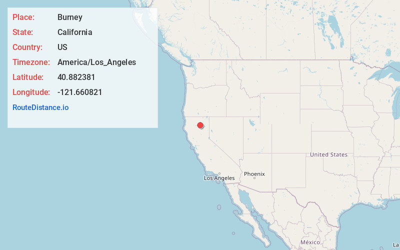
Full AddressBurney, CA 96013
-
Coordinates40.8823811, -121.6608205
-
LocationBurney , California , US
-
TimezoneAmerica/Los_Angeles
-
Current Local Time2:18:39 AM America/Los_AngelesTuesday, June 24, 2025
-
Website
-
Page Views0
About Burney
Burney is an unincorporated town and census-designated place in Shasta County, California, United States. Its population is 3,000 as of the 2020 census, down from 3,154 from the 2010 census. Burney is located on State Route 299, about 4 miles west of its junction with State Route 89.


Nearby Places
Found 7 places within 50 miles

Bella Vista
36.2 mi
58.3 km
Bella Vista, CA
Get directions

Palo Cedro
37.4 mi
60.2 km
Palo Cedro, CA
Get directions

Shasta Lake
39.7 mi
63.9 km
Shasta Lake, CA 96019
Get directions

Redding
43.4 mi
69.8 km
Redding, CA
Get directions

Anderson
44.9 mi
72.3 km
Anderson, CA 96007
Get directions

Cottonwood
47.3 mi
76.1 km
Cottonwood, CA 96022
Get directions

Happy Valley
49.1 mi
79.0 km
Happy Valley, CA 96007
Get directions
Location Links
Local Weather
Weather Information
Coming soon!
Location Map
Static map view of Burney, California
Browse Places by Distance
Places within specific distances from Burney
Short Distances
Long Distances
Click any distance to see all places within that range from Burney. Distances shown in miles (1 mile ≈ 1.61 kilometers).