Distance to Mt Sherman, Colorado

Calculating Your Route
Just a moment while we process your request...
Location Information
-
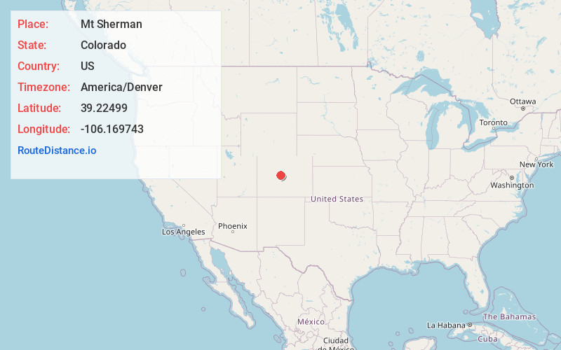
Full AddressMt Sherman, Colorado 80440
-
Coordinates39.2249903, -106.1697431
-
LocationColorado , US
-
TimezoneAmerica/Denver
-
Current Local Time12:42:31 AM America/DenverFriday, June 20, 2025
-
Page Views0
About Mt Sherman
14,043-ft. peak, known as one of the easier fourteeners to summit in Colorado, with an old mine.


Nearby Places
Found 10 places within 50 miles

Sacramento Creek
2.3 mi
3.7 km
Sacramento Creek, Colorado
Get directions

Leadville
6.8 mi
10.9 km
Leadville, CO 80461
Get directions

Alma
7.0 mi
11.3 km
Alma, CO
Get directions

Stringtown
8.0 mi
12.9 km
Stringtown, CO 80461
Get directions
Mt Massive Lakes
8.6 mi
13.8 km
Mt Massive Lakes, CO 80461
Get directions

Fairplay
9.0 mi
14.5 km
Fairplay, CO 80440
Get directions

Mt Lincoln
9.3 mi
15.0 km
Mt Lincoln, Colorado 80424
Get directions
Malta
9.7 mi
15.6 km
Malta, CO 80461
Get directions
Kobe
10.2 mi
16.4 km
Kobe, CO 80461
Get directions

Twin Lakes
15.1 mi
24.3 km
Twin Lakes, CO 81251
Get directions
Location Links
Local Weather
Weather Information
Coming soon!
Location Map
Static map view of Mt Sherman, Colorado
Browse Places by Distance
Places within specific distances from Mt Sherman
Short Distances
Long Distances
Click any distance to see all places within that range from Mt Sherman. Distances shown in miles (1 mile ≈ 1.61 kilometers).