Distance to Mt Sterling, Iowa

Calculating Your Route
Just a moment while we process your request...
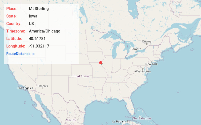
Location Information
-
Full AddressMt Sterling, IA 52573
-
Coordinates40.6178099, -91.9321165
-
LocationMt Sterling , Iowa , US
-
TimezoneAmerica/Chicago
-
Current Local Time1:20:37 AM America/ChicagoThursday, June 19, 2025
-
Page Views0
About Mt Sterling
Mount Sterling is a census-designated place in Van Buren County, Iowa, United States. The population was 33 at the 2020 census.


Nearby Places
Found 10 places within 50 miles

Cantril
7.5 mi
12.1 km
Cantril, IA 52542
Get directions

Keosauqua
7.9 mi
12.7 km
Keosauqua, IA 52565
Get directions

Bonaparte
8.7 mi
14.0 km
Bonaparte, IA 52620
Get directions

Farmington
10.0 mi
16.1 km
Farmington, IA 52626
Get directions
Granger
10.6 mi
17.1 km
Granger, MO 63432
Get directions
Arbela
11.6 mi
18.7 km
Arbela, MO 63432
Get directions

Luray
11.7 mi
18.8 km
Luray, MO
Get directions
Milton
12.7 mi
20.4 km
Milton, IA 52570
Get directions
Medill
15.1 mi
24.3 km
Medill, MO 63445
Get directions

Wyaconda
15.8 mi
25.4 km
Wyaconda, MO 63474
Get directions
Location Links
Local Weather
Weather Information
Coming soon!
Location Map
Static map view of Mt Sterling, Iowa
Browse Places by Distance
Places within specific distances from Mt Sterling
Short Distances
Long Distances
Click any distance to see all places within that range from Mt Sterling. Distances shown in miles (1 mile ≈ 1.61 kilometers).