Distance to Mt Washington, Missouri

Calculating Your Route
Just a moment while we process your request...
Location Information
-
Full AddressMt Washington, Independence, MO 64053
-
Coordinates39.099449, -94.4663414
-
LocationIndependence , Missouri , US
-
TimezoneAmerica/Chicago
-
Current Local Time5:13:44 PM America/ChicagoTuesday, June 3, 2025
-
Page Views0
Nearby Places
Found 10 places within 50 miles

Englewood
1.0 mi
1.6 km
Englewood, Independence, MO 64052
Get directions

Blue Summit
1.1 mi
1.8 km
Blue Summit, MO 64126
Get directions

Sugar Creek
1.4 mi
2.3 km
Sugar Creek, MO
Get directions

Independence
2.8 mi
4.5 km
Independence, MO
Get directions

Cement City
4.1 mi
6.6 km
Cement City, Sugar Creek, MO 64161
Get directions

Randolph
4.3 mi
6.9 km
Randolph, MO
Get directions
Birmingham
4.7 mi
7.6 km
Birmingham, MO 64161
Get directions
Courtney
5.5 mi
8.9 km
Courtney, Sugar Creek, MO 64058
Get directions

Avondale
5.7 mi
9.2 km
Avondale, MO 64117
Get directions

Kansas City
6.0 mi
9.7 km
Kansas City, MO
Get directions
Location Links
Local Weather
Weather Information
Coming soon!
Location Map
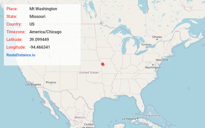
Static map view of Mt Washington, Missouri
Browse Places by Distance
Places within specific distances from Mt Washington
Short Distances
Long Distances
Click any distance to see all places within that range from Mt Washington. Distances shown in miles (1 mile ≈ 1.61 kilometers).