Distance to Mullett Township, Michigan

Calculating Your Route
Just a moment while we process your request...
Location Information
-
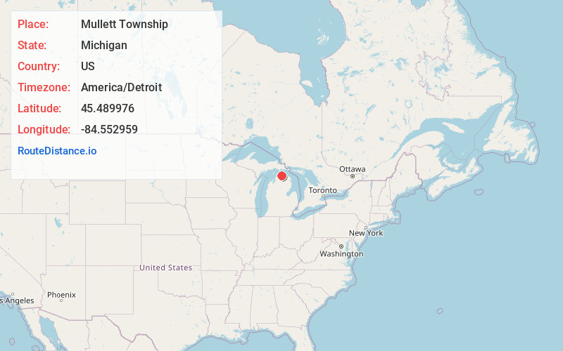
Full AddressMullett Township, MI
-
Coordinates45.4899759, -84.5529587
-
LocationMullett Township , Michigan , US
-
TimezoneAmerica/Detroit
-
Current Local Time11:37:31 AM America/DetroitTuesday, June 3, 2025
-
Page Views0
About Mullett Township
Mullett Township is a civil township of Cheboygan County in the U.S. state of Michigan. The population was 1,236 at the 2020 census. Both the township and Mullett Lake are named for John Mullett, who surveyed much of the area between 1840 and 1843.


Nearby Places
Found 10 places within 50 miles

Long Point
2.2 mi
3.5 km
Long Point, MI 49721
Get directions

Mullett Lake
2.6 mi
4.2 km
Mullett Lake, Michigan
Get directions
Miami Beach
2.7 mi
4.3 km
Miami Beach, MI 49749
Get directions
Birchwood
3.4 mi
5.5 km
Birchwood, MI 49721
Get directions
Aloha
4.9 mi
7.9 km
Aloha, MI 49721
Get directions

Burt Lake
5.2 mi
8.4 km
Burt Lake, Michigan
Get directions

Koehler Township
5.5 mi
8.9 km
Koehler Township, MI
Get directions

Indian River
6.1 mi
9.8 km
Indian River, MI 49749
Get directions

Riggsville
6.2 mi
10.0 km
Riggsville, MI 49721
Get directions

Burt Township
6.2 mi
10.0 km
Burt Township, MI
Get directions
Location Links
Local Weather
Weather Information
Coming soon!
Location Map
Static map view of Mullett Township, Michigan
Browse Places by Distance
Places within specific distances from Mullett Township
Short Distances
Long Distances
Click any distance to see all places within that range from Mullett Township. Distances shown in miles (1 mile ≈ 1.61 kilometers).