Distance to Munger, Minnesota

Calculating Your Route
Just a moment while we process your request...
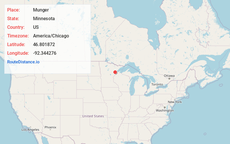
Location Information
-
Full AddressMunger, MN 55720
-
Coordinates46.801872, -92.3442759
-
LocationMunger , Minnesota , US
-
TimezoneAmerica/Chicago
-
Current Local Time12:00:56 PM America/ChicagoWednesday, June 18, 2025
-
Page Views0
About Munger
Munger is an unincorporated community in Solway Township, Saint Louis County, Minnesota, United States.
The community is located 11 miles west of the city of Duluth at the junction of U.S. Highway 2 and County Road 223. Munger is located seven miles west of the city of Proctor.

Nearby Places
Found 10 places within 50 miles

Simar
0.8 mi
1.3 km
Simar, MN 55810
Get directions

Hermantown
5.0 mi
8.0 km
Hermantown, MN
Get directions
Harney
5.5 mi
8.9 km
Harney, MN 55733
Get directions
Harnell Park
6.4 mi
10.3 km
Harnell Park, MN 55779
Get directions
Esko
6.6 mi
10.6 km
Esko, MN 55733
Get directions
Proctor
6.8 mi
10.9 km
Proctor, MN 55810
Get directions
Bartlett
7.6 mi
12.2 km
Bartlett, MN 55779
Get directions

Scanlon
7.7 mi
12.4 km
Scanlon, MN
Get directions

Cloquet
7.8 mi
12.6 km
Cloquet, MN 55720
Get directions

Carlton
10.3 mi
16.6 km
Carlton, MN
Get directions
Location Links
Local Weather
Weather Information
Coming soon!
Location Map
Static map view of Munger, Minnesota
Browse Places by Distance
Places within specific distances from Munger
Short Distances
Long Distances
Click any distance to see all places within that range from Munger. Distances shown in miles (1 mile ≈ 1.61 kilometers).