Distance to Murphytown, North Carolina

Calculating Your Route
Just a moment while we process your request...
Location Information
-
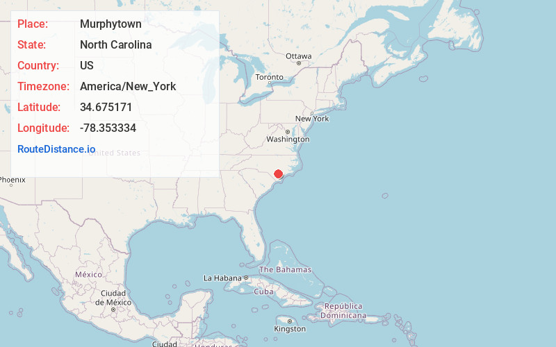
Full AddressMurphytown, NC 28444
-
Coordinates34.6751705, -78.3533343
-
LocationNorth Carolina , US
-
TimezoneAmerica/New_York
-
Current Local Time10:36:25 AM America/New_YorkTuesday, June 24, 2025
-
Page Views0
Nearby Places
Found 10 places within 50 miles

Smith Crossroads
1.8 mi
2.9 km
Smith Crossroads, NC 28444
Get directions
Tomahawk
2.9 mi
4.7 km
Tomahawk, NC 28441
Get directions
Clear Run
6.7 mi
10.8 km
Clear Run, NC 28441
Get directions

White Lake
7.8 mi
12.6 km
White Lake, NC 28337
Get directions

Garland
8.0 mi
12.9 km
Garland, NC 28441
Get directions
Ezzelltown
8.6 mi
13.8 km
Ezzelltown, NC 28444
Get directions

Ivanhoe
8.9 mi
14.3 km
Ivanhoe, NC 28447
Get directions
Lagoon
9.1 mi
14.6 km
Lagoon, NC 28337
Get directions

Harrells
9.4 mi
15.1 km
Harrells, NC 28444
Get directions
Shanghai
10.4 mi
16.7 km
Shanghai, NC 28458
Get directions
Location Links
Local Weather
Weather Information
Coming soon!
Location Map
Static map view of Murphytown, North Carolina
Browse Places by Distance
Places within specific distances from Murphytown
Short Distances
Long Distances
Click any distance to see all places within that range from Murphytown. Distances shown in miles (1 mile ≈ 1.61 kilometers).