Distance to Murray Hill, Kentucky

Calculating Your Route
Just a moment while we process your request...
Location Information
-
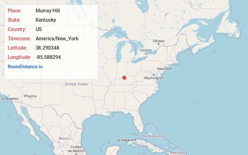
Full AddressMurray Hill, KY
-
Coordinates38.2903475, -85.5882941
-
LocationMurray Hill , Kentucky , US
-
TimezoneAmerica/New_York
-
Current Local Time10:55:12 AM America/New_YorkSaturday, May 24, 2025
-
Page Views0
About Murray Hill
Murray Hill is a home rule-class city in Jefferson County, Kentucky, United States, and a part of the Louisville Metro government. The population was 582 during the 2010 census.
Nearby Places
Found 10 places within 50 miles

Langdon Place
0.4 mi
0.6 km
Langdon Place, KY
Get directions
Plantation
0.5 mi
0.8 km
Plantation, KY 40242
Get directions
Rolling Hills
0.8 mi
1.3 km
Rolling Hills, KY 40242
Get directions
Barbourmeade
0.9 mi
1.4 km
Barbourmeade, KY
Get directions
Meadow Vale
1.0 mi
1.6 km
Meadow Vale, KY
Get directions
Spring Valley
1.3 mi
2.1 km
Spring Valley, KY 40241
Get directions
Graymoor-Devondale
2.2 mi
3.5 km
Graymoor-Devondale, KY 40222
Get directions
Lyndon
2.4 mi
3.9 km
Lyndon, KY
Get directions
Bellemeade
2.6 mi
4.2 km
Bellemeade, KY
Get directions

Northfield
2.7 mi
4.3 km
Northfield, KY
Get directions
Location Links
Local Weather
Weather Information
Coming soon!
Location Map
Static map view of Murray Hill, Kentucky
Browse Places by Distance
Places within specific distances from Murray Hill
Short Distances
Long Distances
Click any distance to see all places within that range from Murray Hill. Distances shown in miles (1 mile ≈ 1.61 kilometers).