Distance to Murrayville, Georgia

Calculating Your Route
Just a moment while we process your request...
Location Information
-
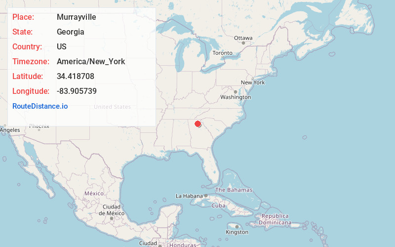
Full AddressMurrayville, GA 30564
-
Coordinates34.4187083, -83.9057392
-
LocationMurrayville , Georgia , US
-
TimezoneAmerica/New_York
-
Current Local Time2:27:18 PM America/New_YorkFriday, June 6, 2025
-
Page Views0
About Murrayville
Murrayville is an unincorporated community in Hall County, Georgia, United States. The community is located along Georgia State Route 60, 9.6 miles north-northwest of Gainesville. Murrayville has a post office with ZIP code 30564.
The community was named after Patrick J. Murray, a local merchant.


Nearby Places
Found 10 places within 50 miles

Clermont
8.6 mi
13.8 km
Clermont, GA 30527
Get directions

Dahlonega
8.7 mi
14.0 km
Dahlonega, GA 30533
Get directions

Gainesville
9.6 mi
15.4 km
Gainesville, GA
Get directions

New Holland
9.7 mi
15.6 km
New Holland, GA 30501
Get directions
Westside
10.6 mi
17.1 km
Westside, GA 30501
Get directions

Cane Creek Falls
11.2 mi
18.0 km
Cane Creek Falls, Dahlonega, GA 30533
Get directions
Chicopee
12.0 mi
19.3 km
Chicopee, GA 30504
Get directions

Dawsonville
12.2 mi
19.6 km
Dawsonville, GA 30534
Get directions

Oakwood
13.3 mi
21.4 km
Oakwood, GA
Get directions

Lula
13.8 mi
22.2 km
Lula, GA
Get directions
Location Links
Local Weather
Weather Information
Coming soon!
Location Map
Static map view of Murrayville, Georgia
Browse Places by Distance
Places within specific distances from Murrayville
Short Distances
Long Distances
Click any distance to see all places within that range from Murrayville. Distances shown in miles (1 mile ≈ 1.61 kilometers).