Distance to Lula, Georgia

Calculating Your Route
Just a moment while we process your request...
Location Information
-
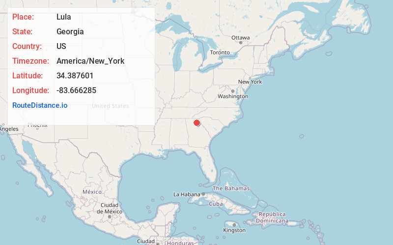
Full AddressLula, GA
-
Coordinates34.3876013, -83.6662854
-
LocationLula , Georgia , US
-
TimezoneAmerica/New_York
-
Current Local Time11:58:48 AM America/New_YorkSunday, June 22, 2025
-
Page Views0
About Lula
Lula is a city in Hall and Banks counties in the U.S. state of Georgia. The population was 2,822 at the 2020 census, and the town has both Hall and Banks county zoning. Lula is the railroad junction between the Atlanta northeast line and the Athens north line of Norfolk Southern Railway.


Nearby Places
Found 10 places within 50 miles

Baldwin
10.3 mi
16.6 km
Baldwin, GA
Get directions

Gainesville
10.9 mi
17.5 km
Gainesville, GA
Get directions

Cornelia
11.7 mi
18.8 km
Cornelia, GA
Get directions

Cleveland
15.5 mi
24.9 km
Cleveland, GA 30528
Get directions

Oakwood
16.6 mi
26.7 km
Oakwood, GA
Get directions

Commerce
17.4 mi
28.0 km
Commerce, GA
Get directions

Jefferson
19.4 mi
31.2 km
Jefferson, GA
Get directions

Braselton
20.0 mi
32.2 km
Braselton, GA
Get directions

Flowery Branch
20.4 mi
32.8 km
Flowery Branch, GA
Get directions

Dahlonega
20.5 mi
33.0 km
Dahlonega, GA 30533
Get directions
Location Links
Local Weather
Weather Information
Coming soon!
Location Map
Static map view of Lula, Georgia
Browse Places by Distance
Places within specific distances from Lula
Short Distances
Long Distances
Click any distance to see all places within that range from Lula. Distances shown in miles (1 mile ≈ 1.61 kilometers).