Distance to Baldwin, Georgia

Calculating Your Route
Just a moment while we process your request...
Location Information
-
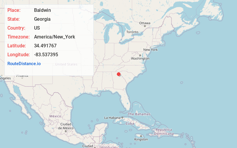
Full AddressBaldwin, GA
-
Coordinates34.4917665, -83.5373946
-
LocationBaldwin , Georgia , US
-
TimezoneAmerica/New_York
-
Current Local Time1:06:04 PM America/New_YorkSaturday, May 31, 2025
-
Page Views0
About Baldwin
Baldwin is a city in Banks and Habersham counties in the U.S. state of Georgia. As of the 2010 census, the city had a population of 3,279, up from 2,425 at the 2000 census.
Baldwin is located on U.S. Route 441 just south of Georgia State Route 365.


Nearby Places
Found 10 places within 50 miles

Cornelia
1.5 mi
2.4 km
Cornelia, GA
Get directions

Toccoa
13.1 mi
21.1 km
Toccoa, GA
Get directions

Commerce
20.4 mi
32.8 km
Commerce, GA
Get directions

Gainesville
21.1 mi
34.0 km
Gainesville, GA
Get directions

Dahlonega
25.6 mi
41.2 km
Dahlonega, GA 30533
Get directions

Jefferson
26.0 mi
41.8 km
Jefferson, GA
Get directions

Oakwood
26.9 mi
43.3 km
Oakwood, GA
Get directions

Braselton
29.4 mi
47.3 km
Braselton, GA
Get directions

Flowery Branch
30.6 mi
49.2 km
Flowery Branch, GA
Get directions

Walhalla
32.9 mi
52.9 km
Walhalla, SC
Get directions
Location Links
Local Weather
Weather Information
Coming soon!
Location Map
Static map view of Baldwin, Georgia
Browse Places by Distance
Places within specific distances from Baldwin
Short Distances
Long Distances
Click any distance to see all places within that range from Baldwin. Distances shown in miles (1 mile ≈ 1.61 kilometers).