Distance to Walhalla, South Carolina

Calculating Your Route
Just a moment while we process your request...
Location Information
-
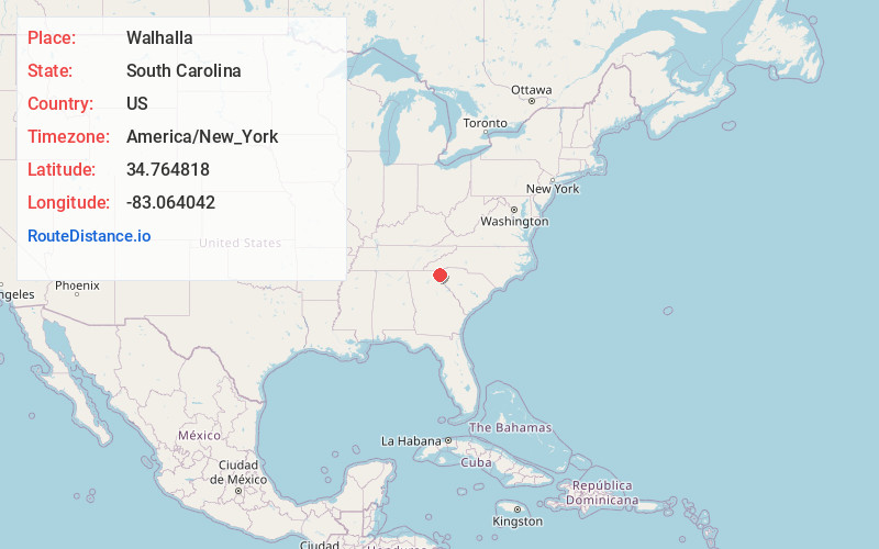
Full AddressWalhalla, SC
-
Coordinates34.7648176, -83.0640417
-
LocationWalhalla , South Carolina , US
-
TimezoneAmerica/New_York
-
Current Local Time6:00:59 AM America/New_YorkSunday, June 22, 2025
-
Page Views1
About Walhalla
Walhalla is a city in the foothills of the Blue Ridge Mountains in Oconee County, South Carolina, United States. Designated in 1868 as the county seat, it lies within the area of the Blue Ridge Escarpment, an area of transition between mountains and piedmont, and contains numerous waterfalls.


Nearby Places
Found 10 places within 50 miles

Seneca
8.3 mi
13.4 km
Seneca, SC
Get directions

Clemson
14.0 mi
22.5 km
Clemson, SC
Get directions

Central
16.3 mi
26.2 km
Central, SC 29630
Get directions

Toccoa
20.0 mi
32.2 km
Toccoa, GA
Get directions

Northlake
25.6 mi
41.2 km
Northlake, SC
Get directions
Centerville
26.0 mi
41.8 km
Centerville, SC 29625
Get directions

Easley
26.6 mi
42.8 km
Easley, SC
Get directions

Hartwell
29.4 mi
47.3 km
Hartwell, GA 30643
Get directions

Anderson
29.7 mi
47.8 km
Anderson, SC
Get directions

Homeland Park
30.2 mi
48.6 km
Homeland Park, SC
Get directions
Location Links
Local Weather
Weather Information
Coming soon!
Location Map
Static map view of Walhalla, South Carolina
Browse Places by Distance
Places within specific distances from Walhalla
Short Distances
Long Distances
Click any distance to see all places within that range from Walhalla. Distances shown in miles (1 mile ≈ 1.61 kilometers).