Distance to Muskoda, Minnesota

Calculating Your Route
Just a moment while we process your request...
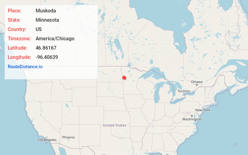
Location Information
-
Full AddressMuskoda, MN 56549
-
Coordinates46.8616699, -96.40639
-
LocationMuskoda , Minnesota , US
-
TimezoneAmerica/Chicago
-
Current Local Time11:32:44 PM America/ChicagoFriday, June 20, 2025
-
Page Views0
About Muskoda
Muskoda is a ghost town in section 7 of Hawley Township in Clay County, Minnesota, United States.
Nearby Places
Found 10 places within 50 miles

Hawley
4.4 mi
7.1 km
Hawley, MN 56549
Get directions

Glyndon
8.2 mi
13.2 km
Glyndon, MN 56547
Get directions

Hitterdal
10.6 mi
17.1 km
Hitterdal, MN 56552
Get directions

Baker
12.4 mi
20.0 km
Baker, MN 56580
Get directions

Sabin
12.9 mi
20.8 km
Sabin, MN 56580
Get directions

Dilworth
13.7 mi
22.0 km
Dilworth, MN 56529
Get directions

Barnesville
14.4 mi
23.2 km
Barnesville, MN 56514
Get directions

Lake Park
14.8 mi
23.8 km
Lake Park, MN 56554
Get directions

Felton
15.8 mi
25.4 km
Felton, MN 56536
Get directions
Oakport Township
16.4 mi
26.4 km
Oakport Township, MN
Get directions
Location Links
Local Weather
Weather Information
Coming soon!
Location Map
Static map view of Muskoda, Minnesota
Browse Places by Distance
Places within specific distances from Muskoda
Short Distances
Long Distances
Click any distance to see all places within that range from Muskoda. Distances shown in miles (1 mile ≈ 1.61 kilometers).