Distance to Napa Soda Springs, California

Calculating Your Route
Just a moment while we process your request...
Location Information
-
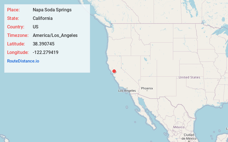
Full AddressNapa Soda Springs, CA 94558
-
Coordinates38.390745, -122.2794191
-
LocationNapa Soda Springs , California , US
-
TimezoneAmerica/Los_Angeles
-
Current Local Time1:36:16 AM America/Los_AngelesSunday, June 1, 2025
-
Page Views0
About Napa Soda Springs
Napa Soda Springs is a set of natural water springs that was the site of a resort in the 1880's in Napa County, California.
It lies at an elevation of 705 feet. Napa Soda Springs is located 5 miles east-southeast of Yountville.
The Napa Soda Springs post office operated from 1882 to 1929.
Nearby Places
Found 10 places within 50 miles

Atlas
3.2 mi
5.1 km
Atlas, CA 94558
Get directions
Oak Knoll
3.7 mi
6.0 km
Oak Knoll, CA 94558
Get directions
Vichy Springs
3.8 mi
6.1 km
Vichy Springs, CA 94558
Get directions

Yountville
4.5 mi
7.2 km
Yountville, CA
Get directions
Union
5.4 mi
8.7 km
Union, CA 94558
Get directions
Moskowite Corner
5.9 mi
9.5 km
Moskowite Corner, CA 94558
Get directions

Napa
6.5 mi
10.5 km
Napa, CA
Get directions

Oakville
7.4 mi
11.9 km
Oakville, CA 94558
Get directions
Lokoya
7.6 mi
12.2 km
Lokoya, CA 94558
Get directions
Imola
7.8 mi
12.6 km
Imola, CA 94559
Get directions
Location Links
Local Weather
Weather Information
Coming soon!
Location Map
Static map view of Napa Soda Springs, California
Browse Places by Distance
Places within specific distances from Napa Soda Springs
Short Distances
Long Distances
Click any distance to see all places within that range from Napa Soda Springs. Distances shown in miles (1 mile ≈ 1.61 kilometers).