Distance to and from Nathrop, Colorado
Nathrop, CO
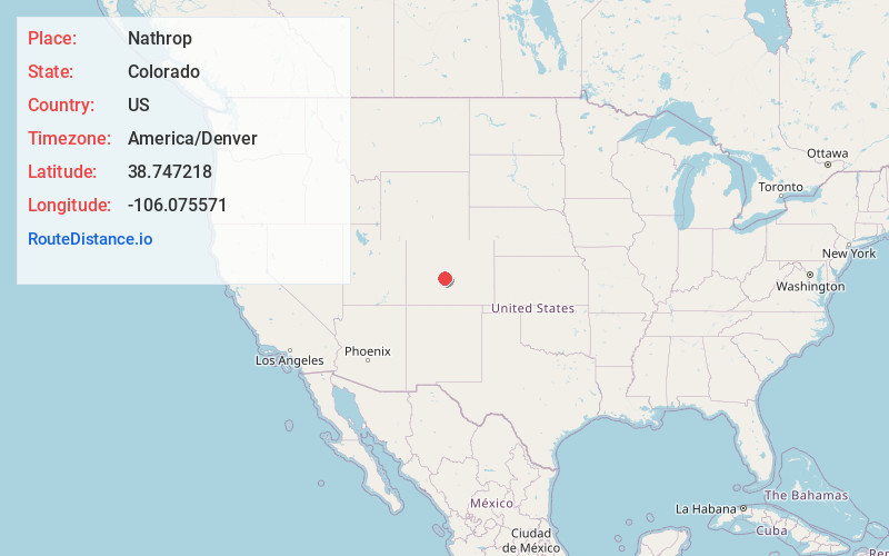
Nathrop
Colorado
US
America/Denver
Location Information
-
Full AddressNathrop, CO
-
Coordinates38.7472183, -106.0755712
-
LocationNathrop , Colorado , US
-
TimezoneAmerica/Denver
-
Current Local Time4:21:28 AM America/DenverSunday, May 4, 2025
-
Page Views0
Directions to Nearest Cities
About Nathrop
Nathrop is an unincorporated town, a post office, and a census-designated place located in and governed by Chaffee County, Colorado, United States. The population was 288 at the 2020 census. The Nathrop post office has the ZIP code 81236.


Nearby Places
Found 10 places within 50 miles

Johnson Village
4.7 mi
7.6 km
Johnson Village, CO 81211
Get directions

Buena Vista
7.2 mi
11.6 km
Buena Vista, CO 81211
Get directions

Salida
15.3 mi
24.6 km
Salida, CO 81201
Get directions

Maysville
15.7 mi
25.3 km
Maysville, CO 81201
Get directions

Poncha Springs
16.2 mi
26.1 km
Poncha Springs, CO
Get directions

Howard
24.4 mi
39.3 km
Howard, CO
Get directions

Twin Lakes
28.4 mi
45.7 km
Twin Lakes, CO 81251
Get directions

Coaldale
31.5 mi
50.7 km
Coaldale, CO
Get directions

Fairplay
33.2 mi
53.4 km
Fairplay, CO 80440
Get directions

Leadville
36.7 mi
59.1 km
Leadville, CO 80461
Get directions
Johnson Village
4.7 mi
7.6 km
Johnson Village, CO 81211
Buena Vista
7.2 mi
11.6 km
Buena Vista, CO 81211
Salida
15.3 mi
24.6 km
Salida, CO 81201
Maysville
15.7 mi
25.3 km
Maysville, CO 81201
Poncha Springs
16.2 mi
26.1 km
Poncha Springs, CO
Howard
24.4 mi
39.3 km
Howard, CO
Twin Lakes
28.4 mi
45.7 km
Twin Lakes, CO 81251
Coaldale
31.5 mi
50.7 km
Coaldale, CO
Fairplay
33.2 mi
53.4 km
Fairplay, CO 80440
Leadville
36.7 mi
59.1 km
Leadville, CO 80461
Location Links
Local Weather
Weather Information
Coming soon!
Location Map
Static map view of Nathrop, Colorado
Browse Places by Distance
Places within specific distances from Nathrop
Short Distances
Long Distances
Click any distance to see all places within that range from Nathrop. Distances shown in miles (1 mile ≈ 1.61 kilometers).