Distance to Natividad, California

Calculating Your Route
Just a moment while we process your request...
Location Information
-
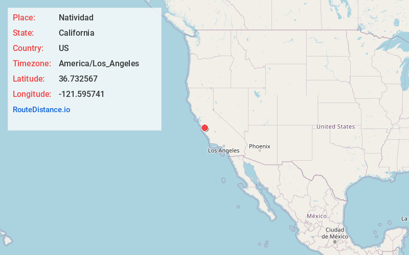
Full AddressNatividad, CA 93908
-
Coordinates36.732567, -121.595741
-
LocationNatividad , California , US
-
TimezoneAmerica/Los_Angeles
-
Current Local Time1:19:44 PM America/Los_AngelesTuesday, June 10, 2025
-
Page Views0
About Natividad
Natividad is an unincorporated community and ghost town in Monterey County, California. It is located 5 miles northeast of Salinas, at an elevation of 164 feet.
Natividad was named for the Rancho La Natividad Mexican land grant which included the community.
Nearby Places
Found 10 places within 50 miles

Boronda
5.0 mi
8.0 km
Boronda, CA 93907
Get directions

Salinas
5.0 mi
8.0 km
Salinas, CA
Get directions

Prunedale
5.1 mi
8.2 km
Prunedale, CA
Get directions

Spreckels
7.9 mi
12.7 km
Spreckels, CA 93962
Get directions

San Juan Bautista
8.4 mi
13.5 km
San Juan Bautista, CA 95045
Get directions

Castroville
8.9 mi
14.3 km
Castroville, CA
Get directions
Blanco
8.9 mi
14.3 km
Blanco, CA 93908
Get directions
Morse
9.2 mi
14.8 km
Morse, CA 95045
Get directions
Nashua
9.4 mi
15.1 km
Nashua, CA 93908
Get directions
Elkhorn
10.2 mi
16.4 km
Elkhorn, CA
Get directions
Location Links
Local Weather
Weather Information
Coming soon!
Location Map
Static map view of Natividad, California
Browse Places by Distance
Places within specific distances from Natividad
Short Distances
Long Distances
Click any distance to see all places within that range from Natividad. Distances shown in miles (1 mile ≈ 1.61 kilometers).