Distance to Naukati Bay, Alaska

Calculating Your Route
Just a moment while we process your request...
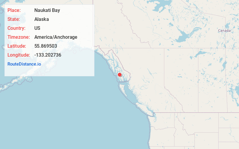
Location Information
-
Full AddressNaukati Bay, AK 99921
-
Coordinates55.8695034, -133.2027355
-
LocationNaukati Bay , Alaska , US
-
TimezoneAmerica/Anchorage
-
Current Local Time11:18:13 PM America/AnchorageSunday, June 29, 2025
-
Page Views0
About Naukati Bay
Naukati Bay is a census-designated place in the Prince of Wales-Hyder Census Area of the Unorganized Borough of the U.S. state of Alaska. The population was 113 at the 2010 census, down from 135 in 2000.


Nearby Places
Found 6 places within 50 miles

Coffman Cove
17.7 mi
28.5 km
Coffman Cove, AK
Get directions

Klawock
22.4 mi
36.0 km
Klawock, AK 99925
Get directions

Craig
27.3 mi
43.9 km
Craig, AK
Get directions

Thorne Bay
29.3 mi
47.2 km
Thorne Bay, AK
Get directions

Hollis
34.4 mi
55.4 km
Hollis, AK 99921
Get directions

Hydaburg
48.0 mi
77.2 km
Hydaburg, AK 99922
Get directions
Location Links
Local Weather
Weather Information
Coming soon!
Location Map
Static map view of Naukati Bay, Alaska
Browse Places by Distance
Places within specific distances from Naukati Bay
Short Distances
Long Distances
Click any distance to see all places within that range from Naukati Bay. Distances shown in miles (1 mile ≈ 1.61 kilometers).