Distance to Neal, Kansas

Calculating Your Route
Just a moment while we process your request...
Location Information
-
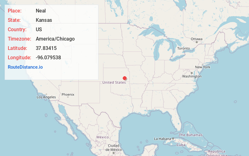
Full AddressNeal, KS
-
Coordinates37.8341497, -96.0795381
-
LocationNeal , Kansas , US
-
TimezoneAmerica/Chicago
-
Current Local Time7:49:58 AM America/ChicagoSaturday, June 21, 2025
-
Page Views0
About Neal
Neal is a census-designated place in eastern Greenwood County, Kansas, United States. As of the 2020 census, the population was 37. It is located approximately 10 miles east of the city of Eureka along U.S. Route 54 highway.
Nearby Places
Found 10 places within 50 miles

Toronto
7.5 mi
12.1 km
Toronto, KS 66777
Get directions

Hamilton
11.1 mi
17.9 km
Hamilton, KS 66853
Get directions

Climax
11.1 mi
17.9 km
Climax, KS
Get directions

Eureka
11.5 mi
18.5 km
Eureka, KS 67045
Get directions
Coyville
14.3 mi
23.0 km
Coyville, KS 66736
Get directions

Fall River
15.9 mi
25.6 km
Fall River, KS 67047
Get directions

Severy
16.7 mi
26.9 km
Severy, KS 67137
Get directions
Yates Center
19.2 mi
30.9 km
Yates Center, KS 66783
Get directions

New Albany
19.9 mi
32.0 km
New Albany, KS 66736
Get directions
Madison
21.1 mi
34.0 km
Madison, KS 66860
Get directions
Location Links
Local Weather
Weather Information
Coming soon!
Location Map
Static map view of Neal, Kansas
Browse Places by Distance
Places within specific distances from Neal
Short Distances
Long Distances
Click any distance to see all places within that range from Neal. Distances shown in miles (1 mile ≈ 1.61 kilometers).