Distance to New Albany, Kansas

Calculating Your Route
Just a moment while we process your request...
Location Information
-
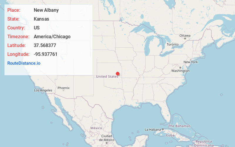
Full AddressNew Albany, KS 66736
-
Coordinates37.5683765, -95.9377613
-
LocationNew Albany , Kansas , US
-
TimezoneAmerica/Chicago
-
Current Local Time9:21:17 AM America/ChicagoSaturday, June 21, 2025
-
Page Views0
About New Albany
New Albany is a city in Wilson County, Kansas, United States. As of the 2020 census, the population of the city was 57.


Nearby Places
Found 10 places within 50 miles

Fall River
5.6 mi
9.0 km
Fall River, KS 67047
Get directions

Fredonia
6.5 mi
10.5 km
Fredonia, KS 66736
Get directions

Coyville
8.4 mi
13.5 km
Coyville, KS 66736
Get directions
Benedict
11.4 mi
18.3 km
Benedict, KS 66714
Get directions
Longton
15.3 mi
24.6 km
Longton, KS 67352
Get directions

Altoona
15.5 mi
24.9 km
Altoona, KS 66710
Get directions

Toronto
15.9 mi
25.6 km
Toronto, KS 66777
Get directions

Severy
16.3 mi
26.2 km
Severy, KS 67137
Get directions
Buffalo
16.4 mi
26.4 km
Buffalo, KS 66717
Get directions

Neodesha
17.5 mi
28.2 km
Neodesha, KS 66757
Get directions
Location Links
Local Weather
Weather Information
Coming soon!
Location Map
Static map view of New Albany, Kansas
Browse Places by Distance
Places within specific distances from New Albany
Short Distances
Long Distances
Click any distance to see all places within that range from New Albany. Distances shown in miles (1 mile ≈ 1.61 kilometers).