Distance to and from Neals, Florida
Neals, FL 32693
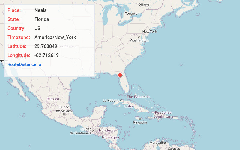
Florida
US
America/New_York
Location Information
-
Full AddressNeals, FL 32693
-
Coordinates29.7688493, -82.712619
-
LocationFlorida , US
-
TimezoneAmerica/New_York
-
Current Local Time3:27:13 PM America/New_YorkSaturday, May 3, 2025
-
Page Views0
Directions to Nearest Cities
About Neals
Neals was a siding of the Seaboard Coast Line Railroad in Gilchrist County, Florida, United States. It is located approximately 2 miles east of Craggs.
Nearby Places
Found 10 places within 50 miles

Craggs
1.8 mi
2.9 km
Craggs, FL 32643
Get directions
Williford
4.9 mi
7.9 km
Williford, FL 32643
Get directions
Clark
5.2 mi
8.4 km
Clark, High Springs, FL 32643
Get directions
Wade
5.9 mi
9.5 km
Wade, Newberry, FL 32643
Get directions
Hollingsworth Bluff
7.2 mi
11.6 km
Hollingsworth Bluff, FL 32038
Get directions

High Springs
8.0 mi
12.9 km
High Springs, FL
Get directions
Forest Grove
8.1 mi
13.0 km
Forest Grove, FL 32615
Get directions
Gilchrist County
8.6 mi
13.8 km
Gilchrist County, FL
Get directions
Tyler
8.7 mi
14.0 km
Tyler, FL 32693
Get directions

Bell
9.0 mi
14.5 km
Bell, FL 32619
Get directions
Craggs
1.8 mi
2.9 km
Craggs, FL 32643
Williford
4.9 mi
7.9 km
Williford, FL 32643
Clark
5.2 mi
8.4 km
Clark, High Springs, FL 32643
Wade
5.9 mi
9.5 km
Wade, Newberry, FL 32643
Hollingsworth Bluff
7.2 mi
11.6 km
Hollingsworth Bluff, FL 32038
High Springs
8.0 mi
12.9 km
High Springs, FL
Forest Grove
8.1 mi
13.0 km
Forest Grove, FL 32615
Gilchrist County
8.6 mi
13.8 km
Gilchrist County, FL
Tyler
8.7 mi
14.0 km
Tyler, FL 32693
Bell
9.0 mi
14.5 km
Bell, FL 32619
Location Links
Local Weather
Weather Information
Coming soon!
Location Map
Static map view of Neals, Florida
Browse Places by Distance
Places within specific distances from Neals
Short Distances
Long Distances
Click any distance to see all places within that range from Neals. Distances shown in miles (1 mile ≈ 1.61 kilometers).