Distance to Neelys Landing, Missouri

Calculating Your Route
Just a moment while we process your request...
Location Information
-
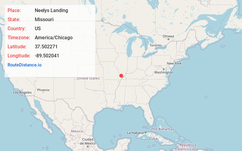
Full AddressNeelys Landing, Shawnee Township, MO 63755
-
Coordinates37.5022712, -89.5020411
-
LocationShawnee Township , Missouri , US
-
TimezoneAmerica/Chicago
-
Current Local Time10:02:27 PM America/ChicagoWednesday, June 18, 2025
-
Page Views0
Nearby Places
Found 10 places within 50 miles

Pocahontas
7.5 mi
12.1 km
Pocahontas, MO 63755
Get directions
New Wells
7.7 mi
12.4 km
New Wells, MO
Get directions

Grand Tower
8.6 mi
13.8 km
Grand Tower, IL 62942
Get directions
Shawneetown
8.9 mi
14.3 km
Shawneetown, MO 63755
Get directions

Altenburg
10.0 mi
16.1 km
Altenburg, MO
Get directions
Reynoldsville
11.0 mi
17.7 km
Reynoldsville, IL 62952
Get directions
Kaolin
11.1 mi
17.9 km
Kaolin, Cobden District 2 Precinct, IL 62920
Get directions

Alto Pass
11.1 mi
17.9 km
Alto Pass, IL 62905
Get directions
Frohna
11.5 mi
18.5 km
Frohna, MO 63748
Get directions

Jackson
12.2 mi
19.6 km
Jackson, MO 63755
Get directions
Location Links
Local Weather
Weather Information
Coming soon!
Location Map
Static map view of Neelys Landing, Missouri
Browse Places by Distance
Places within specific distances from Neelys Landing
Short Distances
Long Distances
Click any distance to see all places within that range from Neelys Landing. Distances shown in miles (1 mile ≈ 1.61 kilometers).