Distance to Nekoma, Kansas

Calculating Your Route
Just a moment while we process your request...
Location Information
-
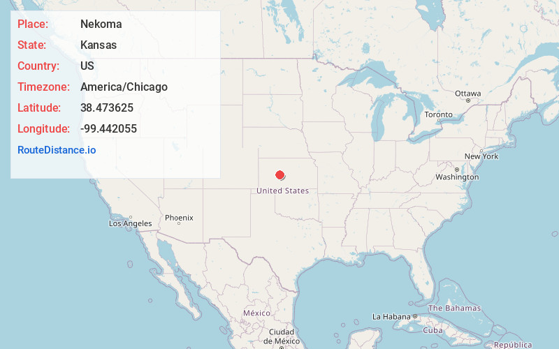
Full AddressNekoma, KS 67559
-
Coordinates38.473625, -99.4420547
-
LocationNekoma , Kansas , US
-
TimezoneAmerica/Chicago
-
Current Local Time1:39:43 AM America/ChicagoThursday, June 19, 2025
-
Page Views0
About Nekoma
Nekoma is an unincorporated community in Rush County, Kansas, United States. It lies along K-96 southwest of the city of La Crosse.
Nearby Places
Found 10 places within 50 miles

Hargrave
5.7 mi
9.2 km
Hargrave, La Crosse-Brookdale Township, KS 67556
Get directions

Alexander
6.0 mi
9.7 km
Alexander, KS 67513
Get directions
Rush Center
7.2 mi
11.6 km
Rush Center, KS 67575
Get directions

La Crosse
8.2 mi
13.2 km
La Crosse, KS 67548
Get directions

McCracken
10.2 mi
16.4 km
McCracken, KS 67556
Get directions
Bison
13.6 mi
21.9 km
Bison, KS 67520
Get directions

Bazine
13.7 mi
22.0 km
Bazine, KS 67516
Get directions

Liebenthal
14.2 mi
22.9 km
Liebenthal, KS 67553
Get directions
Timken
14.3 mi
23.0 km
Timken, KS 67575
Get directions
Schoenchen
17.6 mi
28.3 km
Schoenchen, KS
Get directions
Location Links
Local Weather
Weather Information
Coming soon!
Location Map
Static map view of Nekoma, Kansas
Browse Places by Distance
Places within specific distances from Nekoma
Short Distances
Long Distances
Click any distance to see all places within that range from Nekoma. Distances shown in miles (1 mile ≈ 1.61 kilometers).