Distance to Neosheo, Kentucky

Calculating Your Route
Just a moment while we process your request...
Location Information
-
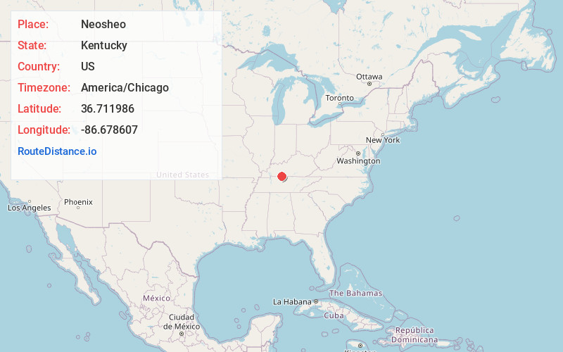
Full AddressNeosheo, KY 42134
-
Coordinates36.7119863, -86.6786074
-
LocationKentucky , US
-
TimezoneAmerica/Chicago
-
Current Local Time5:20:02 PM America/ChicagoThursday, June 19, 2025
-
Page Views0
About Neosheo
Neosheo is an unincorporated community within Simpson County, Kentucky, United States, located at the intersection of Sulphur Springs Road and the Neosheo-Prices Mill Road approximately four miles west of the town of Franklin, KY—the county seat of Simpson County.
Nearby Places
Found 10 places within 50 miles

Franklin
5.6 mi
9.0 km
Franklin, KY 42134
Get directions

Orlinda
8.0 mi
12.9 km
Orlinda, TN
Get directions

Mitchellville
9.4 mi
15.1 km
Mitchellville, TN 37148
Get directions

Adairville
10.1 mi
16.3 km
Adairville, KY 42202
Get directions

Auburn
10.7 mi
17.2 km
Auburn, KY 42206
Get directions

Cross Plains
11.3 mi
18.2 km
Cross Plains, TN
Get directions

Woodburn
12.3 mi
19.8 km
Woodburn, KY
Get directions

Portland
12.9 mi
20.8 km
Portland, TN 37148
Get directions

Russellville
14.8 mi
23.8 km
Russellville, KY 42276
Get directions
New Deal
14.9 mi
24.0 km
New Deal, TN
Get directions
Location Links
Local Weather
Weather Information
Coming soon!
Location Map
Static map view of Neosheo, Kentucky
Browse Places by Distance
Places within specific distances from Neosheo
Short Distances
Long Distances
Click any distance to see all places within that range from Neosheo. Distances shown in miles (1 mile ≈ 1.61 kilometers).