Distance to Nerstrand, Minnesota

Calculating Your Route
Just a moment while we process your request...
Location Information
-
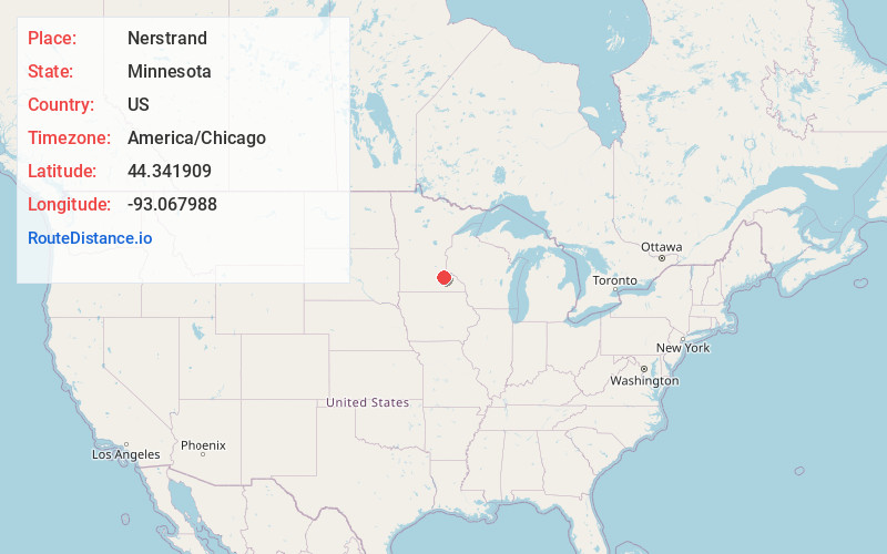
Full AddressNerstrand, MN 55053
-
Coordinates44.3419094, -93.067988
-
LocationNerstrand , Minnesota , US
-
TimezoneAmerica/Chicago
-
Current Local Time3:56:33 AM America/ChicagoThursday, June 19, 2025
-
Page Views0
About Nerstrand
Nerstrand is a city in Rice County, Minnesota, United States.
Minnesota State Highway 246 serves as a main route in the community. Minnesota State Highways 56 and 60 are nearby.


Nearby Places
Found 10 places within 50 miles

Dennison
4.7 mi
7.6 km
Dennison, MN 55018
Get directions

Kenyon
6.3 mi
10.1 km
Kenyon, MN 55946
Get directions

Dundas
9.0 mi
14.5 km
Dundas, MN
Get directions

Northfield
9.3 mi
15.0 km
Northfield, MN 55057
Get directions

Faribault
10.4 mi
16.7 km
Faribault, MN 55021
Get directions

Randolph
12.9 mi
20.8 km
Randolph, MN
Get directions

Cannon Falls
13.9 mi
22.4 km
Cannon Falls, MN 55009
Get directions

Wanamingo
14.0 mi
22.5 km
Wanamingo, MN 55983
Get directions

Medford
14.6 mi
23.5 km
Medford, MN 55049
Get directions

West Concord
15.6 mi
25.1 km
West Concord, MN 55985
Get directions
Location Links
Local Weather
Weather Information
Coming soon!
Location Map
Static map view of Nerstrand, Minnesota
Browse Places by Distance
Places within specific distances from Nerstrand
Short Distances
Long Distances
Click any distance to see all places within that range from Nerstrand. Distances shown in miles (1 mile ≈ 1.61 kilometers).