Distance to Nevada, Nevada

Calculating Your Route
Just a moment while we process your request...
Location Information
-
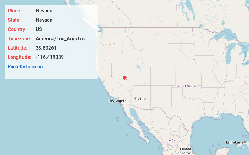
Full AddressNevada
-
Coordinates38.8026097, -116.419389
-
LocationNevada , US
-
TimezoneAmerica/Los_Angeles
-
Current Local Time12:21:54 PM America/Los_AngelesWednesday, June 18, 2025
-
Website
-
Page Views0
About Nevada
Nevada is a landlocked state in the Western United States. It borders Oregon to the northwest, Idaho to the northeast, California to the west, Arizona to the southeast, and Utah to the east. Nevada is the seventh-most extensive, the 32nd-most populous, and the ninth-least densely populated U.S. state.


Nearby Places
Found 10 places within 50 miles

Morey
12.8 mi
20.6 km
Morey, NV
Get directions
Tybo
29.9 mi
48.1 km
Tybo, NV 89049
Get directions
Steigmeyer Mill
34.7 mi
55.8 km
Steigmeyer Mill, NV 89045
Get directions

Round Mountain
35.5 mi
57.1 km
Round Mountain, NV 89045
Get directions
Lockes
38.7 mi
62.3 km
Lockes, NV 89049
Get directions
Duckwater
38.9 mi
62.6 km
Duckwater, NV 89314
Get directions
Bull Fork
39.7 mi
63.9 km
Bull Fork, NV
Get directions

Manhattan
39.8 mi
64.1 km
Manhattan, NV 89022
Get directions
Carvers
40.4 mi
65.0 km
Carvers, NV 89045
Get directions
Darroughs Hot Springs
41.0 mi
66.0 km
Darroughs Hot Springs, NV 89045
Get directions
Location Links
Local Weather
Weather Information
Coming soon!
Location Map
Static map view of Nevada, Nevada
Browse Places by Distance
Places within specific distances from Nevada
Short Distances
Long Distances
Click any distance to see all places within that range from Nevada. Distances shown in miles (1 mile ≈ 1.61 kilometers).