Distance to New Albin, Iowa

Calculating Your Route
Just a moment while we process your request...
Location Information
-
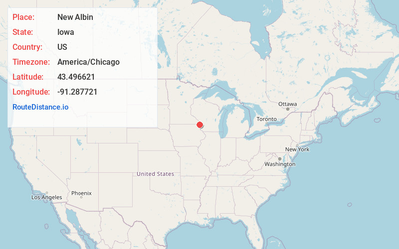
Full AddressNew Albin, IA
-
Coordinates43.496621, -91.2877212
-
LocationNew Albin , Iowa , US
-
TimezoneAmerica/Chicago
-
Current Local Time2:48:28 PM America/ChicagoWednesday, May 21, 2025
-
Page Views0
About New Albin
New Albin is a city in Iowa Township, Allamakee County, Iowa, United States. It is the northeastern-most town in Iowa, located on the Mississippi River and the Minnesota border. The population was 432 at the time of the 2020 census.


Nearby Places
Found 10 places within 50 miles

De Soto
6.8 mi
10.9 km
De Soto, WI 54624
Get directions

Lansing
10.0 mi
16.1 km
Lansing, IA 52151
Get directions

Stoddard
11.9 mi
19.2 km
Stoddard, WI 54658
Get directions

Brownsville
13.6 mi
21.9 km
Brownsville, MN
Get directions

Caledonia
14.2 mi
22.9 km
Caledonia, MN 55921
Get directions

Spring Grove
18.0 mi
29.0 km
Spring Grove, MN 55974
Get directions

Waukon
18.3 mi
29.5 km
Waukon, IA 52172
Get directions

Hokah
18.4 mi
29.6 km
Hokah, MN 55941
Get directions

Coon Valley
19.8 mi
31.9 km
Coon Valley, WI
Get directions

Viroqua
20.4 mi
32.8 km
Viroqua, WI 54665
Get directions
Location Links
Local Weather
Weather Information
Coming soon!
Location Map
Static map view of New Albin, Iowa
Browse Places by Distance
Places within specific distances from New Albin
Short Distances
Long Distances
Click any distance to see all places within that range from New Albin. Distances shown in miles (1 mile ≈ 1.61 kilometers).