Distance to New Castle, Virginia

Calculating Your Route
Just a moment while we process your request...
Location Information
-
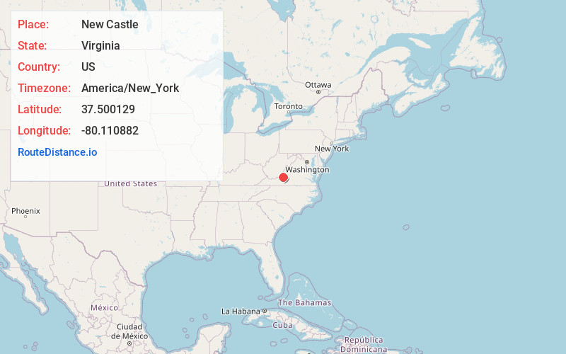
Full AddressNew Castle, VA 24127
-
Coordinates37.5001287, -80.1108815
-
LocationNew Castle , Virginia , US
-
TimezoneAmerica/New_York
-
Current Local Time8:03:43 PM America/New_YorkThursday, June 12, 2025
-
Page Views0
About New Castle
New Castle is the only town in Craig County, Virginia, United States. The population was 125 at the 2020 census. It is the county seat of Craig County.
The junctions of State Route 311 and State Route 42 and State Route 311 and State Route 615 are in New Castle.
New Castle is part of the Roanoke metropolitan area.


Nearby Places
Found 10 places within 50 miles

Daleville
12.5 mi
20.1 km
Daleville, VA
Get directions

Fincastle
12.8 mi
20.6 km
Fincastle, VA 24090
Get directions

Troutville
14.1 mi
22.7 km
Troutville, VA 24175
Get directions

Hollins
14.3 mi
23.0 km
Hollins, VA
Get directions

Cloverdale
14.5 mi
23.3 km
Cloverdale, VA
Get directions

Salem
14.6 mi
23.5 km
Salem, VA 24153
Get directions

Glenvar
15.7 mi
25.3 km
Glenvar, VA 24153
Get directions
Laymantown
16.7 mi
26.9 km
Laymantown, VA
Get directions

Roanoke
18.3 mi
29.5 km
Roanoke, VA
Get directions

Blue Ridge
18.7 mi
30.1 km
Blue Ridge, VA
Get directions
Location Links
Local Weather
Weather Information
Coming soon!
Location Map
Static map view of New Castle, Virginia
Browse Places by Distance
Places within specific distances from New Castle
Short Distances
Long Distances
Click any distance to see all places within that range from New Castle. Distances shown in miles (1 mile ≈ 1.61 kilometers).