Distance to New Deal, Texas

Calculating Your Route
Just a moment while we process your request...
Location Information
-
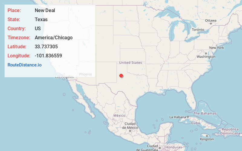
Full AddressNew Deal, TX 79403
-
Coordinates33.7373052, -101.8365585
-
LocationNew Deal , Texas , US
-
TimezoneAmerica/Chicago
-
Current Local Time10:25:56 AM America/ChicagoSunday, June 1, 2025
-
Page Views0
About New Deal
New Deal is a town in Lubbock County, Texas, United States. The population was 730 at the 2020 census. It is part of the Lubbock Metropolitan Statistical Area and the Llano Estacado region.
Nearby Places
Found 10 places within 50 miles

Abernathy
6.6 mi
10.6 km
Abernathy, TX 79311
Get directions

Shallowater
9.9 mi
15.9 km
Shallowater, TX 79363
Get directions

Idalou
10.1 mi
16.3 km
Idalou, TX 79329
Get directions

Lubbock
11.1 mi
17.9 km
Lubbock, TX
Get directions

Wolfforth
18.8 mi
30.3 km
Wolfforth, TX 79382
Get directions

Hale Center
22.6 mi
36.4 km
Hale Center, TX
Get directions

Slaton
23.5 mi
37.8 km
Slaton, TX 79364
Get directions

Ralls
26.3 mi
42.3 km
Ralls, TX 79357
Get directions

Littlefield
30.7 mi
49.4 km
Littlefield, TX 79339
Get directions

Plainview
31.8 mi
51.2 km
Plainview, TX 79072
Get directions
Location Links
Local Weather
Weather Information
Coming soon!
Location Map
Static map view of New Deal, Texas
Browse Places by Distance
Places within specific distances from New Deal
Short Distances
Long Distances
Click any distance to see all places within that range from New Deal. Distances shown in miles (1 mile ≈ 1.61 kilometers).