Distance to New Fountain, Texas

Calculating Your Route
Just a moment while we process your request...
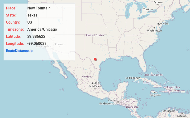
Location Information
-
Full AddressNew Fountain, TX 78861
-
Coordinates29.3866224, -99.0600333
-
LocationTexas , US
-
TimezoneAmerica/Chicago
-
Current Local Time10:00:05 AM America/ChicagoTuesday, July 1, 2025
-
Page Views0
About New Fountain
New Fountain is a ghost town established in 1846. It is located 1.8 miles west of Quihi and 5.6 miles east-northeast of Hondo in Medina County in the U.S. state of Texas. It was part of empresario Henri Castro's colonization of the Medina River valley in the Republic of Texas.
Nearby Places
Found 10 places within 50 miles

Hondo
5.6 mi
9.0 km
Hondo, TX 78861
Get directions

Castroville
11.1 mi
17.9 km
Castroville, TX
Get directions

Rio Medina
11.2 mi
18.0 km
Rio Medina, TX 78253
Get directions

D'Hanis
13.8 mi
22.2 km
D'Hanis, TX
Get directions

Pearson
14.0 mi
22.5 km
Pearson, TX 78016
Get directions

Lacoste
15.9 mi
25.6 km
Lacoste, TX 78039
Get directions

Lakehills
16.6 mi
26.7 km
Lakehills, TX
Get directions
Yancey
17.8 mi
28.6 km
Yancey, TX 78886
Get directions
Lake Medina Shores
18.0 mi
29.0 km
Lake Medina Shores, TX 78003
Get directions

Natalia
18.1 mi
29.1 km
Natalia, TX 78059
Get directions
Location Links
Local Weather
Weather Information
Coming soon!
Location Map
Static map view of New Fountain, Texas
Browse Places by Distance
Places within specific distances from New Fountain
Short Distances
Long Distances
Click any distance to see all places within that range from New Fountain. Distances shown in miles (1 mile ≈ 1.61 kilometers).