Distance to Pearson, Texas

Calculating Your Route
Just a moment while we process your request...
Location Information
-
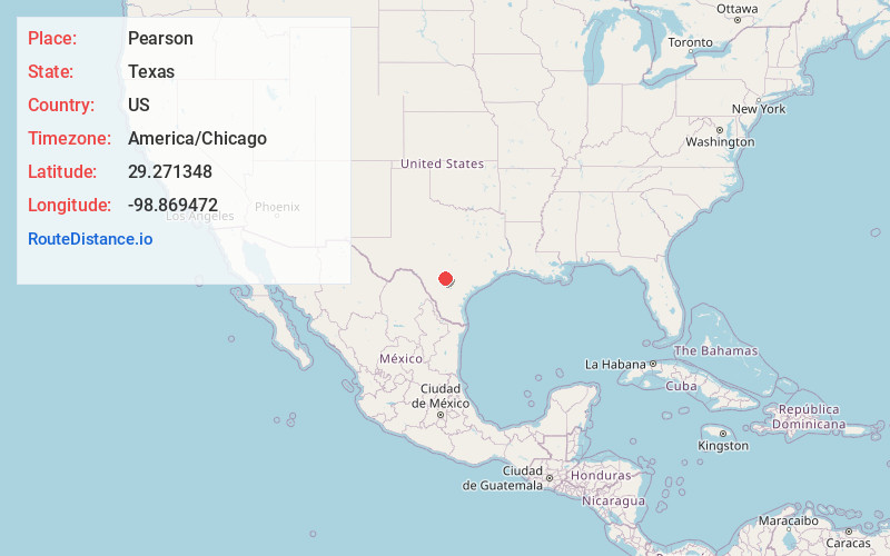
Full AddressPearson, TX 78016
-
Coordinates29.271348, -98.8694717
-
LocationTexas , US
-
TimezoneAmerica/Chicago
-
Current Local Time1:05:09 PM America/ChicagoTuesday, July 1, 2025
-
Page Views0
About Pearson
Pearson, named for Frederick Stark Pearson, is an unincorporated community in Medina County, Texas, United States. It is part of the San Antonio Metropolitan Statistical Area. Pearson was established in 1912 by the San Antonio Suburban Irrigation Company as a stop on the Southern Pacific Railroad.
Nearby Places
Found 10 places within 50 miles

Lacoste
4.4 mi
7.1 km
Lacoste, TX 78039
Get directions

Lytle
5.3 mi
8.5 km
Lytle, TX 78052
Get directions

Natalia
5.7 mi
9.2 km
Natalia, TX 78059
Get directions

Castroville
5.9 mi
9.5 km
Castroville, TX
Get directions

Devine
9.3 mi
15.0 km
Devine, TX 78016
Get directions

Macdona
11.4 mi
18.3 km
Macdona, TX
Get directions

Von Ormy
13.0 mi
20.9 km
Von Ormy, TX
Get directions

Somerset
13.1 mi
21.1 km
Somerset, TX
Get directions

Bigfoot
15.5 mi
24.9 km
Bigfoot, TX
Get directions
Moore
17.2 mi
27.7 km
Moore, TX 78057
Get directions
Location Links
Local Weather
Weather Information
Coming soon!
Location Map
Static map view of Pearson, Texas
Browse Places by Distance
Places within specific distances from Pearson
Short Distances
Long Distances
Click any distance to see all places within that range from Pearson. Distances shown in miles (1 mile ≈ 1.61 kilometers).