Distance to New Lebanon, Ohio

Calculating Your Route
Just a moment while we process your request...
Location Information
-
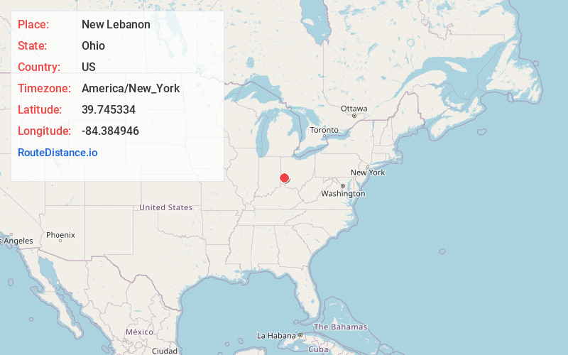
Full AddressNew Lebanon, OH 45345
-
Coordinates39.7453337, -84.3849462
-
LocationNew Lebanon , Ohio , US
-
TimezoneAmerica/New_York
-
Current Local Time12:13:15 PM America/New_YorkSunday, June 1, 2025
-
Website
-
Page Views0
About New Lebanon
New Lebanon is a village in Montgomery County, Ohio, United States. The population was 3,796 at the 2020 census. It is part of the Dayton Metropolitan Statistical Area.


Nearby Places
Found 10 places within 50 miles

Trotwood
5.3 mi
8.5 km
Trotwood, OH
Get directions

Brookville
6.5 mi
10.5 km
Brookville, OH 45309
Get directions

Clayton
8.2 mi
13.2 km
Clayton, OH
Get directions

Germantown
8.3 mi
13.4 km
Germantown, OH
Get directions

Fort McKinley
8.5 mi
13.7 km
Fort McKinley, OH
Get directions

West Carrollton
8.7 mi
14.0 km
West Carrollton, OH
Get directions

Miamisburg
8.8 mi
14.2 km
Miamisburg, OH
Get directions
Moraine
9.2 mi
14.8 km
Moraine, OH
Get directions

Englewood
10.1 mi
16.3 km
Englewood, OH
Get directions

Dayton
10.2 mi
16.4 km
Dayton, OH
Get directions
Location Links
Local Weather
Weather Information
Coming soon!
Location Map
Static map view of New Lebanon, Ohio
Browse Places by Distance
Places within specific distances from New Lebanon
Short Distances
Long Distances
Click any distance to see all places within that range from New Lebanon. Distances shown in miles (1 mile ≈ 1.61 kilometers).