Distance to Newcastle, Utah

Calculating Your Route
Just a moment while we process your request...
Location Information
-
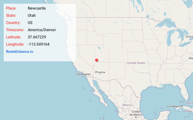
Full AddressNewcastle, UT 84756
-
Coordinates37.6672286, -113.5491639
-
LocationNewcastle , Utah , US
-
TimezoneAmerica/Denver
-
Current Local Time8:59:57 PM America/DenverWednesday, July 2, 2025
-
Page Views0
About Newcastle
Newcastle is an unincorporated community and census-designated place in southwestern Iron County, Utah, United States. It lies along State Route 56, 30 miles west of Cedar City. Newcastle has a post office with the ZIP code of 84756. The population was 247 at the 2010 census.


Nearby Places
Found 10 places within 50 miles

Enterprise
11.3 mi
18.2 km
Enterprise, UT
Get directions

Central
17.8 mi
28.6 km
Central, UT 84722
Get directions

New Harmony
18.5 mi
29.8 km
New Harmony, UT
Get directions

Veyo
24.1 mi
38.8 km
Veyo, UT 84782
Get directions

Dammeron Valley
26.0 mi
41.8 km
Dammeron Valley, UT 84783
Get directions

Cedar City
26.7 mi
43.0 km
Cedar City, UT
Get directions

Enoch
29.6 mi
47.6 km
Enoch, UT 84721
Get directions

Leeds
31.4 mi
50.5 km
Leeds, UT
Get directions

Toquerville
32.1 mi
51.7 km
Toquerville, UT
Get directions

Ivins
35.2 mi
56.6 km
Ivins, UT
Get directions
Location Links
Local Weather
Weather Information
Coming soon!
Location Map
Static map view of Newcastle, Utah
Browse Places by Distance
Places within specific distances from Newcastle
Short Distances
Long Distances
Click any distance to see all places within that range from Newcastle. Distances shown in miles (1 mile ≈ 1.61 kilometers).