Distance to Nichols, Minnesota

Calculating Your Route
Just a moment while we process your request...
Location Information
-
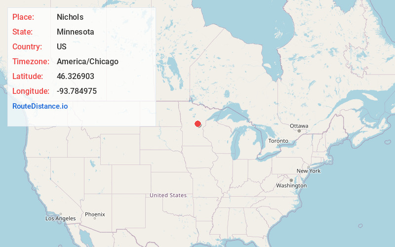
Full AddressNichols, MN 56431
-
Coordinates46.326903, -93.7849748
-
LocationNichols , Minnesota , US
-
TimezoneAmerica/Chicago
-
Current Local Time5:44:28 PM America/ChicagoFriday, June 20, 2025
-
Page Views0
About Nichols
Nichols is an unincorporated community in Hazelton Township, Aitkin County, Minnesota, United States, along the north shore of Mille Lacs Lake. The community is located along U.S. 169 / State Highway 18 near 450th Avenue. Nearby places include Garrison, Malmo, Cutler, and Aitkin.
Nearby Places
Found 10 places within 50 miles

Garrison
3.0 mi
4.8 km
Garrison, MN
Get directions

Bay Lake
5.2 mi
8.4 km
Bay Lake, Bay Lake Township, MN 56444
Get directions

White Hawk
5.3 mi
8.5 km
White Hawk, MN 56444
Get directions
Bennettville
5.5 mi
8.9 km
Bennettville, MN 56431
Get directions
Wealthwood Township
7.3 mi
11.7 km
Wealthwood Township, MN 56431
Get directions

Vineland
10.1 mi
16.3 km
Vineland, MN 56359
Get directions
Oreland
10.7 mi
17.2 km
Oreland, MN 56444
Get directions

Deerwood
11.5 mi
18.5 km
Deerwood, MN 56444
Get directions
Klondyke
11.7 mi
18.8 km
Klondyke, MN 56455
Get directions

Crosby
13.5 mi
21.7 km
Crosby, MN 56441
Get directions
Location Links
Local Weather
Weather Information
Coming soon!
Location Map
Static map view of Nichols, Minnesota
Browse Places by Distance
Places within specific distances from Nichols
Short Distances
Long Distances
Click any distance to see all places within that range from Nichols. Distances shown in miles (1 mile ≈ 1.61 kilometers).