Distance to Ninock, Louisiana

Calculating Your Route
Just a moment while we process your request...
Location Information
-
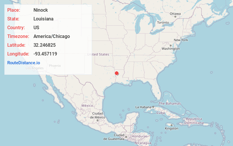
Full AddressNinock, LA 71051
-
Coordinates32.2468245, -93.4571186
-
LocationLouisiana , US
-
TimezoneAmerica/Chicago
-
Current Local Time12:20:20 AM America/ChicagoFriday, June 20, 2025
-
Page Views0
Nearby Places
Found 10 places within 50 miles

Knot Point
6.6 mi
10.6 km
Knot Point, LA 71051
Get directions

Hall Summit
10.2 mi
16.4 km
Hall Summit, LA 71034
Get directions
Ringgold
11.8 mi
19.0 km
Ringgold, LA 71068
Get directions
Gayles
12.1 mi
19.5 km
Gayles, LA 71115
Get directions
Koran
12.3 mi
19.8 km
Koran, LA 71037
Get directions

Frierson
13.6 mi
21.9 km
Frierson, LA 71027
Get directions
Port Boliver
13.9 mi
22.4 km
Port Boliver, LA 71039
Get directions
Edgefield
15.4 mi
24.8 km
Edgefield, LA 71019
Get directions
Jamestown
15.8 mi
25.4 km
Jamestown, LA 71045
Get directions

Castor
17.0 mi
27.4 km
Castor, LA 71016
Get directions
Location Links
Local Weather
Weather Information
Coming soon!
Location Map
Static map view of Ninock, Louisiana
Browse Places by Distance
Places within specific distances from Ninock
Short Distances
Long Distances
Click any distance to see all places within that range from Ninock. Distances shown in miles (1 mile ≈ 1.61 kilometers).