Distance to and from Nippa, Kentucky
Nippa, KY 41240
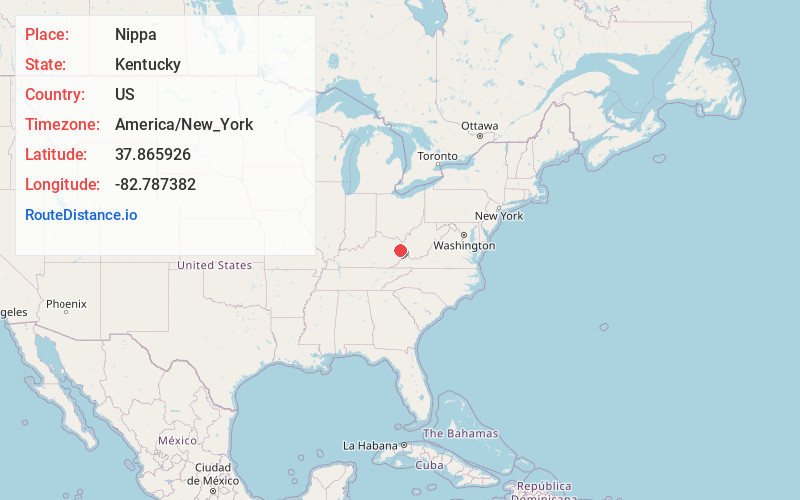
Nippa
Kentucky
US
America/New_York
Location Information
-
Full AddressNippa, KY 41240
-
Coordinates37.8659264, -82.7873824
-
LocationNippa , Kentucky , US
-
TimezoneAmerica/New_York
-
Current Local Time4:21:31 AM America/New_YorkTuesday, May 6, 2025
-
Page Views0
Directions to Nearest Cities
About Nippa
Nippa is an unincorporated community in Johnson County, Kentucky, United States. It is located at an elevation of 636 feet. Nippa is located in the ZIP Code Tabulation Area for ZIP code 41240.
Nearby Places
Found 10 places within 50 miles

Tutor Key
1.9 mi
3.1 km
Tutor Key, KY 41263
Get directions

Paintsville
3.7 mi
6.0 km
Paintsville, KY
Get directions
Staffordsville
3.9 mi
6.3 km
Staffordsville, KY 41256
Get directions
Williamsport
4.5 mi
7.2 km
Williamsport, KY 41271
Get directions
Lowmansville
4.7 mi
7.6 km
Lowmansville, KY 41232
Get directions
Volga
4.7 mi
7.6 km
Volga, KY 41219
Get directions
Whitehouse
4.9 mi
7.9 km
Whitehouse, KY 41240
Get directions
Chandlerville
4.9 mi
7.9 km
Chandlerville, KY 41257
Get directions
Meally
5.4 mi
8.7 km
Meally, KY 41234
Get directions
Barnetts Creek
5.7 mi
9.2 km
Barnetts Creek, KY 41256
Get directions
Tutor Key
1.9 mi
3.1 km
Tutor Key, KY 41263
Paintsville
3.7 mi
6.0 km
Paintsville, KY
Staffordsville
3.9 mi
6.3 km
Staffordsville, KY 41256
Williamsport
4.5 mi
7.2 km
Williamsport, KY 41271
Lowmansville
4.7 mi
7.6 km
Lowmansville, KY 41232
Volga
4.7 mi
7.6 km
Volga, KY 41219
Whitehouse
4.9 mi
7.9 km
Whitehouse, KY 41240
Chandlerville
4.9 mi
7.9 km
Chandlerville, KY 41257
Meally
5.4 mi
8.7 km
Meally, KY 41234
Barnetts Creek
5.7 mi
9.2 km
Barnetts Creek, KY 41256
Location Links
Local Weather
Weather Information
Coming soon!
Location Map
Static map view of Nippa, Kentucky
Browse Places by Distance
Places within specific distances from Nippa
Short Distances
Long Distances
Click any distance to see all places within that range from Nippa. Distances shown in miles (1 mile ≈ 1.61 kilometers).