Distance to Nitta Yuma, Mississippi

Calculating Your Route
Just a moment while we process your request...
Location Information
-
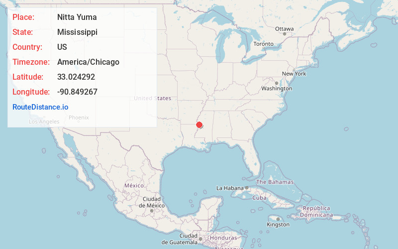
Full AddressNitta Yuma, MS
-
Coordinates33.024292, -90.8492666
-
LocationNitta Yuma , Mississippi , US
-
TimezoneAmerica/Chicago
-
Current Local Time10:23:14 PM America/ChicagoSaturday, June 21, 2025
-
Page Views0
About Nitta Yuma
Nitta Yuma is a census-designated place and unincorporated community located in Sharkey County, Mississippi, United States. Nitta Yuma is located along U.S. Route 61, approximately four miles north of Anguilla.
The name "Nitta Yuma" is derived from the Choctaw language.


Nearby Places
Found 10 places within 50 miles

Panther Burn
3.1 mi
5.0 km
Panther Burn, MS
Get directions

Anguilla
3.8 mi
6.1 km
Anguilla, MS 38721
Get directions

Delta City
4.7 mi
7.6 km
Delta City, MS 38748
Get directions
Grace
6.4 mi
10.3 km
Grace, MS
Get directions

Rolling Fork
8.3 mi
13.4 km
Rolling Fork, MS 39159
Get directions
Hollandale
10.0 mi
16.1 km
Hollandale, MS 38748
Get directions

Glen Allan
10.5 mi
16.9 km
Glen Allan, MS
Get directions
Mayersville
14.4 mi
23.2 km
Mayersville, MS 39113
Get directions
Louise
15.4 mi
24.8 km
Louise, MS 39097
Get directions

Cary
15.7 mi
25.3 km
Cary, MS
Get directions
Location Links
Local Weather
Weather Information
Coming soon!
Location Map
Static map view of Nitta Yuma, Mississippi
Browse Places by Distance
Places within specific distances from Nitta Yuma
Short Distances
Long Distances
Click any distance to see all places within that range from Nitta Yuma. Distances shown in miles (1 mile ≈ 1.61 kilometers).