Distance to Nodaway County, Missouri

Calculating Your Route
Just a moment while we process your request...
Location Information
-
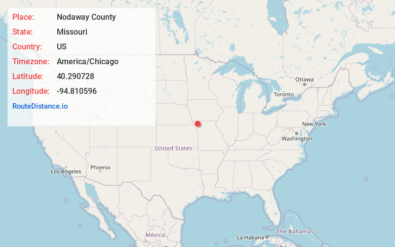
Full AddressNodaway County, MO
-
Coordinates40.2907281, -94.8105955
-
LocationMissouri , US
-
TimezoneAmerica/Chicago
-
Current Local Time11:54:33 AM America/ChicagoThursday, July 3, 2025
-
Page Views0
About Nodaway County
Nodaway County is a county located in the northwest part of Missouri. As of the 2020 census, the population was 21,241. Its county seat is Maryville. The county was organized February 14, 1845, and is named for the Nodaway River.

Nearby Places
Found 10 places within 50 miles

Arkoe
2.4 mi
3.9 km
Arkoe, MO
Get directions

Maryville
5.0 mi
8.0 km
Maryville, MO 64468
Get directions
Conception Junction
6.5 mi
10.5 km
Conception Junction, MO 64434
Get directions
Clyde
7.6 mi
12.2 km
Clyde, MO
Get directions
Barnard
8.1 mi
13.0 km
Barnard, MO 64423
Get directions
Ravenwood
8.4 mi
13.5 km
Ravenwood, MO 64479
Get directions
Guilford
9.3 mi
15.0 km
Guilford, MO 64457
Get directions

Pickering
11.2 mi
18.0 km
Pickering, MO 64476
Get directions
Bolckow
12.3 mi
19.8 km
Bolckow, MO 64427
Get directions
Graham
13.4 mi
21.6 km
Graham, MO 64455
Get directions
Location Links
Local Weather
Weather Information
Coming soon!
Location Map
Static map view of Nodaway County, Missouri
Browse Places by Distance
Places within specific distances from Nodaway County
Short Distances
Long Distances
Click any distance to see all places within that range from Nodaway County. Distances shown in miles (1 mile ≈ 1.61 kilometers).