Distance to Bolckow, Missouri

Calculating Your Route
Just a moment while we process your request...
Location Information
-
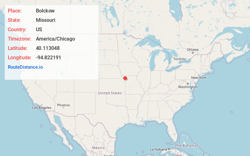
Full AddressBolckow, MO 64427
-
Coordinates40.1130481, -94.8221906
-
LocationBolckow , Missouri , US
-
TimezoneAmerica/Chicago
-
Current Local Time6:26:25 PM America/ChicagoFriday, June 20, 2025
-
Page Views0
About Bolckow
Bolckow is a city in Benton Township, Andrew County, Missouri, United States. The population was 163 at the 2020 Census. It is part of the St. Joseph, MO–KS Metropolitan Statistical Area.
Nearby Places
Found 10 places within 50 miles

Savannah
11.9 mi
19.2 km
Savannah, MO 64485
Get directions
Conception Junction
12.7 mi
20.4 km
Conception Junction, MO 64434
Get directions

Maitland
14.6 mi
23.5 km
Maitland, MO 64466
Get directions
Union Star
14.9 mi
24.0 km
Union Star, MO 64494
Get directions

Amazonia
16.1 mi
25.9 km
Amazonia, MO 64421
Get directions

Maryville
16.3 mi
26.2 km
Maryville, MO 64468
Get directions
King City
16.3 mi
26.2 km
King City, MO 64463
Get directions
Stanberry
16.6 mi
26.7 km
Stanberry, MO 64489
Get directions
Ravenwood
18.3 mi
29.5 km
Ravenwood, MO 64479
Get directions
Oregon
19.2 mi
30.9 km
Oregon, MO 64473
Get directions
Location Links
Local Weather
Weather Information
Coming soon!
Location Map
Static map view of Bolckow, Missouri
Browse Places by Distance
Places within specific distances from Bolckow
Short Distances
Long Distances
Click any distance to see all places within that range from Bolckow. Distances shown in miles (1 mile ≈ 1.61 kilometers).