Distance to Union Star, Missouri

Calculating Your Route
Just a moment while we process your request...
Location Information
-
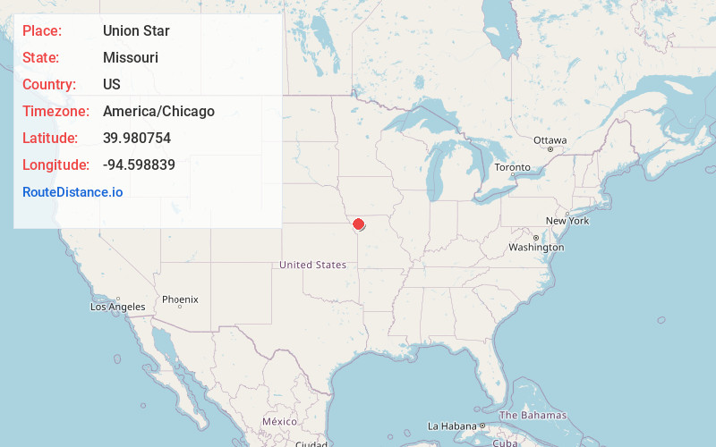
Full AddressUnion Star, MO 64494
-
Coordinates39.9807543, -94.598839
-
LocationUnion Star , Missouri , US
-
TimezoneAmerica/Chicago
-
Current Local Time10:44:41 AM America/ChicagoSaturday, May 31, 2025
-
Page Views0
About Union Star
Union Star is a city in northwest DeKalb County, Missouri, United States, along the Third Fork of the Platte River. The population was 380 at the 2020 census. It is part of the St. Joseph, MO–KS Metropolitan Statistical Area.
Nearby Places
Found 10 places within 50 miles

King City
6.3 mi
10.1 km
King City, MO 64463
Get directions
Savannah
12.6 mi
20.3 km
Savannah, MO 64485
Get directions

Maysville
14.1 mi
22.7 km
Maysville, MO 64469
Get directions
Stanberry
16.7 mi
26.9 km
Stanberry, MO 64489
Get directions
Stewartsville
16.8 mi
27.0 km
Stewartsville, MO 64490
Get directions

St Joseph
19.7 mi
31.7 km
St Joseph, MO
Get directions

Elwood
21.3 mi
34.3 km
Elwood, KS
Get directions

Albany
23.3 mi
37.5 km
Albany, MO 64402
Get directions
Wathena
24.1 mi
38.8 km
Wathena, KS 66090
Get directions
Agency
24.4 mi
39.3 km
Agency, MO
Get directions
Location Links
Local Weather
Weather Information
Coming soon!
Location Map
Static map view of Union Star, Missouri
Browse Places by Distance
Places within specific distances from Union Star
Short Distances
Long Distances
Click any distance to see all places within that range from Union Star. Distances shown in miles (1 mile ≈ 1.61 kilometers).