Distance to Maysville, Missouri

Calculating Your Route
Just a moment while we process your request...
Location Information
-
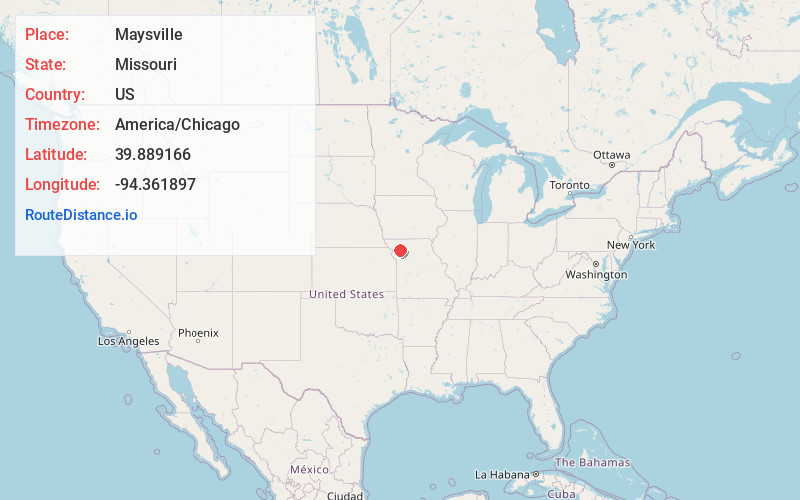
Full AddressMaysville, MO 64469
-
Coordinates39.8891658, -94.3618967
-
LocationMaysville , Missouri , US
-
TimezoneAmerica/Chicago
-
Current Local Time2:38:09 PM America/ChicagoTuesday, June 24, 2025
-
Page Views0
About Maysville
Maysville is a city in DeKalb County, Missouri, United States. The population was 1,095 at the 2020 census. Maysville is the county seat of DeKalb County.
Maysville is part of the St. Joseph, MO–KS Metropolitan Statistical Area.

Nearby Places
Found 10 places within 50 miles

Cameron
12.1 mi
19.5 km
Cameron, MO 64429
Get directions

Gallatin
21.3 mi
34.3 km
Gallatin, MO 64640
Get directions

Hamilton
21.8 mi
35.1 km
Hamilton, MO 64644
Get directions

Plattsburg
22.8 mi
36.7 km
Plattsburg, MO 64477
Get directions

Gower
22.9 mi
36.9 km
Gower, MO 64454
Get directions

Lathrop
23.6 mi
38.0 km
Lathrop, MO 64465
Get directions
Stanberry
24.5 mi
39.4 km
Stanberry, MO 64489
Get directions

Albany
24.9 mi
40.1 km
Albany, MO 64402
Get directions
Savannah
25.1 mi
40.4 km
Savannah, MO 64485
Get directions

St Joseph
27.1 mi
43.6 km
St Joseph, MO
Get directions
Location Links
Local Weather
Weather Information
Coming soon!
Location Map
Static map view of Maysville, Missouri
Browse Places by Distance
Places within specific distances from Maysville
Short Distances
Long Distances
Click any distance to see all places within that range from Maysville. Distances shown in miles (1 mile ≈ 1.61 kilometers).