Distance to Lathrop, Missouri

Calculating Your Route
Just a moment while we process your request...
Location Information
-
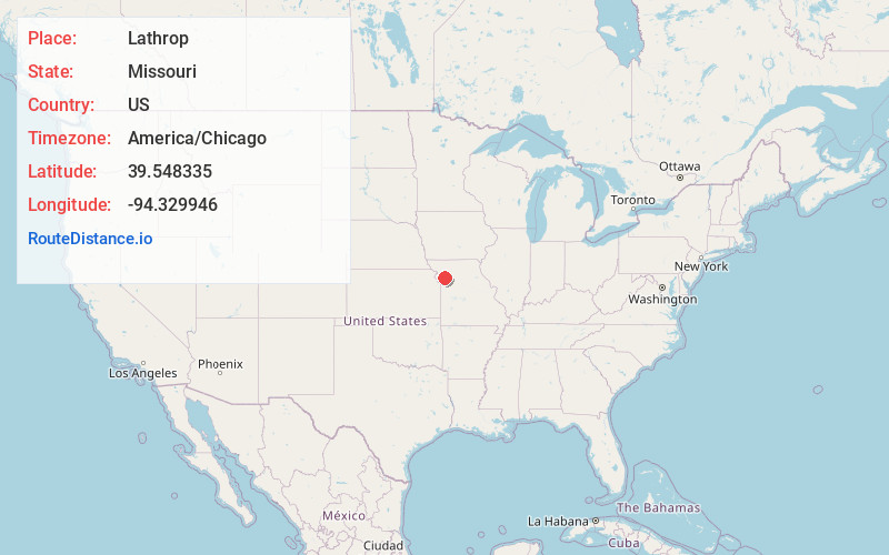
Full AddressLathrop, MO 64465
-
Coordinates39.5483354, -94.3299461
-
LocationLathrop , Missouri , US
-
TimezoneAmerica/Chicago
-
Current Local Time6:17:53 PM America/ChicagoFriday, June 20, 2025
-
Website
-
Page Views0
About Lathrop
Lathrop is a city in Clinton County, Missouri, and is part of the Kansas City metropolitan area within the United States. The population was 2,271 at the 2020 census.


Nearby Places
Found 10 places within 50 miles

Kearney
12.6 mi
20.3 km
Kearney, MO
Get directions

Cameron
14.1 mi
22.7 km
Cameron, MO 64429
Get directions

Excelsior Springs
15.5 mi
24.9 km
Excelsior Springs, MO 64024
Get directions

Smithville
17.4 mi
28.0 km
Smithville, MO 64089
Get directions

Liberty
21.4 mi
34.4 km
Liberty, MO
Get directions

Pleasant Valley
24.3 mi
39.1 km
Pleasant Valley, MO
Get directions

Richmond
26.5 mi
42.6 km
Richmond, MO 64085
Get directions

Gladstone
26.7 mi
43.0 km
Gladstone, MO
Get directions

Platte City
27.1 mi
43.6 km
Platte City, MO 64079
Get directions

Buckner
29.6 mi
47.6 km
Buckner, MO 64016
Get directions
Location Links
Local Weather
Weather Information
Coming soon!
Location Map
Static map view of Lathrop, Missouri
Browse Places by Distance
Places within specific distances from Lathrop
Short Distances
Long Distances
Click any distance to see all places within that range from Lathrop. Distances shown in miles (1 mile ≈ 1.61 kilometers).