Distance to Cameron, Missouri

Calculating Your Route
Just a moment while we process your request...
Location Information
-
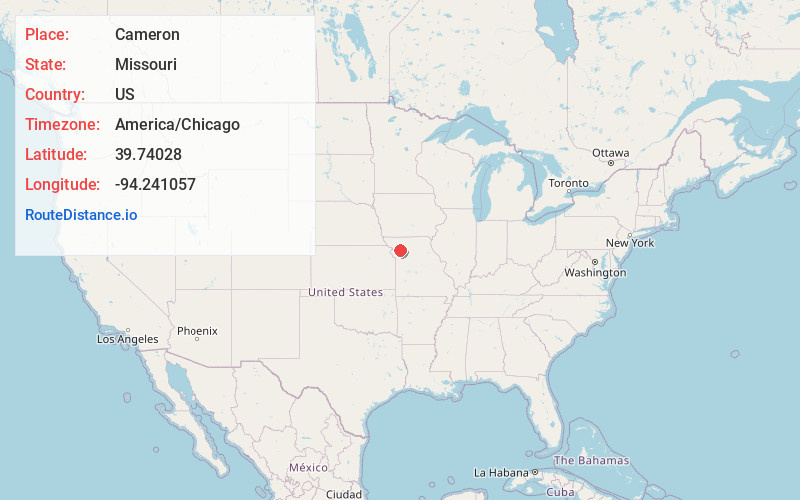
Full AddressCameron, MO 64429
-
Coordinates39.7402801, -94.241057
-
LocationCameron , Missouri , US
-
TimezoneAmerica/Chicago
-
Current Local Time7:14:45 AM America/ChicagoMonday, June 2, 2025
-
Page Views0
About Cameron
Cameron is a city in Clinton, DeKalb and Caldwell counties in the U.S. state of Missouri. The population was 8,513 at the 2020 census.


Nearby Places
Found 10 places within 50 miles

Kearney
26.5 mi
42.6 km
Kearney, MO
Get directions

Excelsior Springs
27.7 mi
44.6 km
Excelsior Springs, MO 64024
Get directions

Smithville
30.4 mi
48.9 km
Smithville, MO 64089
Get directions

St Joseph
32.2 mi
51.8 km
St Joseph, MO
Get directions

Liberty
35.4 mi
57.0 km
Liberty, MO
Get directions

Chillicothe
36.8 mi
59.2 km
Chillicothe, MO 64601
Get directions

Gladstone
40.7 mi
65.5 km
Gladstone, MO
Get directions

Independence
45.8 mi
73.7 km
Independence, MO
Get directions

Leavenworth
47.1 mi
75.8 km
Leavenworth, KS
Get directions

Kansas City
47.8 mi
76.9 km
Kansas City, MO
Get directions
Location Links
Local Weather
Weather Information
Coming soon!
Location Map
Static map view of Cameron, Missouri
Browse Places by Distance
Places within specific distances from Cameron
Short Distances
Long Distances
Click any distance to see all places within that range from Cameron. Distances shown in miles (1 mile ≈ 1.61 kilometers).