Distance to Maitland, Missouri

Calculating Your Route
Just a moment while we process your request...
Location Information
-
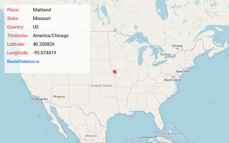
Full AddressMaitland, MO 64466
-
Coordinates40.2008262, -95.0744187
-
LocationMaitland , Missouri , US
-
TimezoneAmerica/Chicago
-
Current Local Time1:51:10 AM America/ChicagoWednesday, June 4, 2025
-
Page Views0
About Maitland
Maitland is a city in Holt County, Missouri, United States. The population was 276 at the 2020 census. At one point the city billed itself as the "Bluegrass Mecca"—home to the largest bluegrass farm in the world.


Nearby Places
Found 10 places within 50 miles

Mound City
9.6 mi
15.4 km
Mound City, MO 64470
Get directions

Maryville
14.6 mi
23.5 km
Maryville, MO 64468
Get directions

Oregon
15.2 mi
24.5 km
Oregon, MO 64473
Get directions

Burlington Junction
16.9 mi
27.2 km
Burlington Junction, MO 64428
Get directions

Fairfax
19.3 mi
31.1 km
Fairfax, MO 64446
Get directions
Savannah
22.1 mi
35.6 km
Savannah, MO 64485
Get directions

Tarkio
23.0 mi
37.0 km
Tarkio, MO 64491
Get directions
Ravenwood
23.6 mi
38.0 km
Ravenwood, MO 64479
Get directions
Highland
25.7 mi
41.4 km
Highland, KS 66035
Get directions

Rock Port
27.5 mi
44.3 km
Rock Port, MO 64482
Get directions
Location Links
Local Weather
Weather Information
Coming soon!
Location Map
Static map view of Maitland, Missouri
Browse Places by Distance
Places within specific distances from Maitland
Short Distances
Long Distances
Click any distance to see all places within that range from Maitland. Distances shown in miles (1 mile ≈ 1.61 kilometers).