Distance to Rock Port, Missouri

Calculating Your Route
Just a moment while we process your request...
Location Information
-
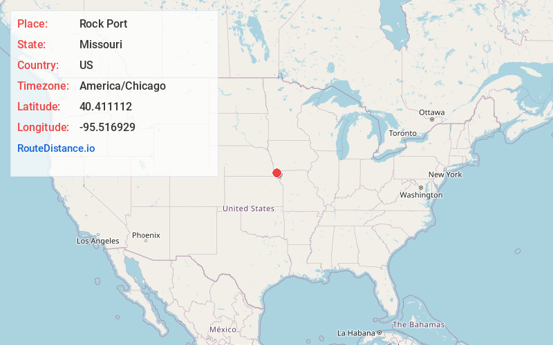
Full AddressRock Port, MO 64482
-
Coordinates40.4111122, -95.5169286
-
LocationRock Port , Missouri , US
-
TimezoneAmerica/Chicago
-
Current Local Time2:58:18 PM America/ChicagoWednesday, June 18, 2025
-
Website
-
Page Views0
About Rock Port
Rock Port is a city in, and the county seat of, Atchison County, Missouri, United States. The population was 1,278 at the 2020 census.


Nearby Places
Found 10 places within 50 miles

Tarkio
7.6 mi
12.2 km
Tarkio, MO 64491
Get directions

Auburn
16.6 mi
26.7 km
Auburn, NE 68305
Get directions

Falls City
24.6 mi
39.6 km
Falls City, NE 68355
Get directions

Shenandoah
25.7 mi
41.4 km
Shenandoah, IA 51601
Get directions

Nebraska City
25.7 mi
41.4 km
Nebraska City, NE 68410
Get directions

Clarinda
34.0 mi
54.7 km
Clarinda, IA 51632
Get directions

Maryville
34.2 mi
55.0 km
Maryville, MO 64468
Get directions

Tecumseh
35.9 mi
57.8 km
Tecumseh, NE 68450
Get directions

Sabetha
38.2 mi
61.5 km
Sabetha, KS 66534
Get directions
Hiawatha
38.6 mi
62.1 km
Hiawatha, KS 66434
Get directions
Location Links
Local Weather
Weather Information
Coming soon!
Location Map
Static map view of Rock Port, Missouri
Browse Places by Distance
Places within specific distances from Rock Port
Short Distances
Long Distances
Click any distance to see all places within that range from Rock Port. Distances shown in miles (1 mile ≈ 1.61 kilometers).