Distance to Tarkio, Missouri

Calculating Your Route
Just a moment while we process your request...
Location Information
-
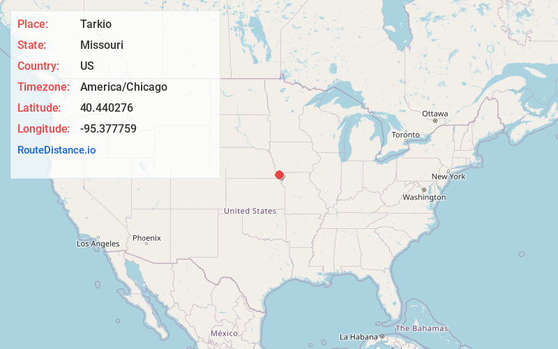
Full AddressTarkio, MO 64491
-
Coordinates40.4402763, -95.3777586
-
LocationTarkio , Missouri , US
-
TimezoneAmerica/Chicago
-
Current Local Time6:00:23 AM America/ChicagoWednesday, June 11, 2025
-
Page Views0
About Tarkio
Tarkio is a city in Tarkio Township, Atchison County, Missouri, United States. The population was 1,506 at the 2020 census. It was platted in 1880 and incorporated in 1881. The name "Tarkio" is derived from the Meskwaki language meaning "place where walnuts grow".


Nearby Places
Found 10 places within 50 miles

Shenandoah
22.6 mi
36.4 km
Shenandoah, IA 51601
Get directions

Auburn
24.1 mi
38.8 km
Auburn, NE 68305
Get directions

Maryville
27.4 mi
44.1 km
Maryville, MO 64468
Get directions

Clarinda
27.4 mi
44.1 km
Clarinda, IA 51632
Get directions

Falls City
28.8 mi
46.3 km
Falls City, NE 68355
Get directions

Nebraska City
30.1 mi
48.4 km
Nebraska City, NE 68410
Get directions

Red Oak
40.7 mi
65.5 km
Red Oak, IA 51566
Get directions

Hiawatha
41.5 mi
66.8 km
Hiawatha, KS 66434
Get directions

Tecumseh
43.3 mi
69.7 km
Tecumseh, NE 68450
Get directions
Sabetha
43.4 mi
69.8 km
Sabetha, KS 66534
Get directions
Location Links
Local Weather
Weather Information
Coming soon!
Location Map
Static map view of Tarkio, Missouri
Browse Places by Distance
Places within specific distances from Tarkio
Short Distances
Long Distances
Click any distance to see all places within that range from Tarkio. Distances shown in miles (1 mile ≈ 1.61 kilometers).