Distance to Hiawatha, Kansas

Calculating Your Route
Just a moment while we process your request...
Location Information
-
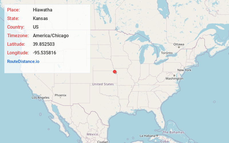
Full AddressHiawatha, KS 66434
-
Coordinates39.8525033, -95.5358156
-
LocationHiawatha , Kansas , US
-
TimezoneAmerica/Chicago
-
Current Local Time3:27:07 PM America/ChicagoWednesday, June 18, 2025
-
Website
-
Page Views0
About Hiawatha
Hiawatha is the largest city and county seat of Brown County, Kansas, United States. As of the 2020 census, the population of the city was 3,280.
Nearby Places
Found 7 places within 50 miles

Falls City
14.8 mi
23.8 km
Falls City, NE 68355
Get directions

Atchison
29.7 mi
47.8 km
Atchison, KS
Get directions

St Joseph
37.0 mi
59.5 km
St Joseph, MO
Get directions

Savannah
37.9 mi
61.0 km
Savannah, MO 64485
Get directions

Auburn
40.6 mi
65.3 km
Auburn, NE 68305
Get directions

Maryville
48.9 mi
78.7 km
Maryville, MO 64468
Get directions

Leavenworth
49.5 mi
79.7 km
Leavenworth, KS
Get directions
Location Links
Local Weather
Weather Information
Coming soon!
Location Map
Static map view of Hiawatha, Kansas
Browse Places by Distance
Places within specific distances from Hiawatha
Short Distances
Long Distances
Click any distance to see all places within that range from Hiawatha. Distances shown in miles (1 mile ≈ 1.61 kilometers).