Distance to Mound City, Missouri

Calculating Your Route
Just a moment while we process your request...
Location Information
-
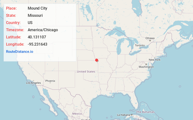
Full AddressMound City, MO 64470
-
Coordinates40.1311066, -95.2316428
-
LocationMound City , Missouri , US
-
TimezoneAmerica/Chicago
-
Current Local Time8:02:22 PM America/ChicagoWednesday, June 18, 2025
-
Page Views0
About Mound City
Mound City is a city in Holt County, Missouri, United States, centered near the interchange of Interstate 29 and Missouri Route 118. The population was 1,004 at the 2020 census, down from the 1,159 people counted during the previous census.


Nearby Places
Found 10 places within 50 miles

Falls City
20.2 mi
32.5 km
Falls City, NE 68355
Get directions

Tarkio
22.7 mi
36.5 km
Tarkio, MO 64491
Get directions

Maryville
24.1 mi
38.8 km
Maryville, MO 64468
Get directions

Rock Port
24.5 mi
39.4 km
Rock Port, MO 64482
Get directions

Savannah
24.9 mi
40.1 km
Savannah, MO 64485
Get directions
Hiawatha
25.1 mi
40.4 km
Hiawatha, KS 66434
Get directions
Wathena
29.7 mi
47.8 km
Wathena, KS 66090
Get directions

St Joseph
32.4 mi
52.1 km
St Joseph, MO
Get directions
Sabetha
34.0 mi
54.7 km
Sabetha, KS 66534
Get directions

Horton
36.1 mi
58.1 km
Horton, KS 66439
Get directions
Location Links
Local Weather
Weather Information
Coming soon!
Location Map
Static map view of Mound City, Missouri
Browse Places by Distance
Places within specific distances from Mound City
Short Distances
Long Distances
Click any distance to see all places within that range from Mound City. Distances shown in miles (1 mile ≈ 1.61 kilometers).